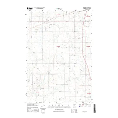
2016 Map of Foreston
USGS Topo · Published 2016About this map
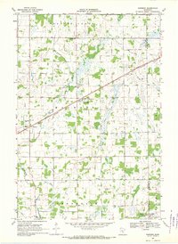
Milaca and Foreston anchor this Mille Lacs County landscape, which is defined by the winding course of the W Br Rum River. The survey captures a region of structured agriculture and small settlements connected by a dense grid of rural roads like Golden Rd and Chestnut Rd. For genealogists and local historians, several community landmarks are clearly marked, including Saint Louis Cem near Foreston and Pilgrims Rest Cem to the southwest. The smaller village of Pease sits along the eastern rail corridor, while the locality of Estes Brook appears further south near the watercourse of the same name. The drainage patterns of Estes Brook and the Rum River show the low-lying nature of the terrain, where wetlands and small water bodies interrupt the township and range sections.
Find a feature on this map
43 named features on this map. Tap any name to fly to it.
Don’t see what you’re looking for? This feature index may not catch every label — zoom into the map to look around manually.
Map Details
Editions of this 2016 Foreston Map
This is the sole edition of this map. No revisions or reprints were ever made.
Other maps of this area

1953 · Stillwater
USGS Topo · 1:250,000

1955 · Stillwater
USGS Topo · 1:250,000

1958 · Stillwater
USGS Topo · 1:250,000

1965 · Stillwater
USGS Topo · 1:250,000

1968 · Rum River
USGS Topo · 1:24,000
1968 · Santiago
USGS Topo · 1:24,000
1968 · Princeton SW
USGS Topo · 1:24,000

1968 · Milaca
USGS Topo · 1:24,000
1968 · Princeton
USGS Topo · 1:24,000
1968 · Ronneby
USGS Topo · 1:24,000