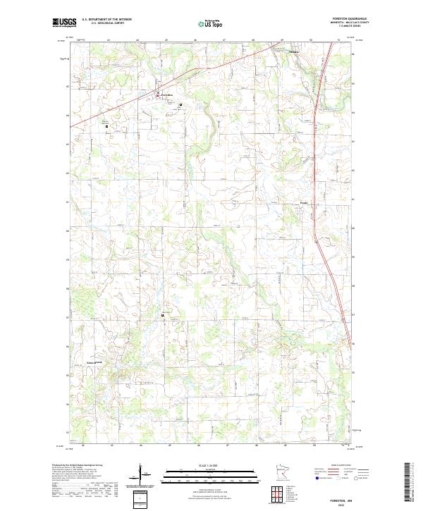
2022 Map of Foreston
USGS Topo · Published 2022About this map
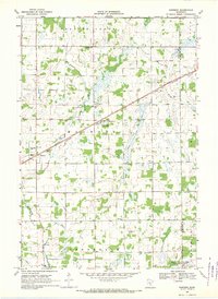
Foreston and Pease anchor a landscape defined by the winding course of the W Br Rum River and its tributaries. This 2022 survey shows a region largely structured by a precise section-line road grid, including Co RD 14 and Co RD 5, which frame numerous small wetlands and drainage basins. The settlement patterns reveal a history of community and continuity, as seen in the cluster of heritage sites like Saint Louis Cem and Pilgrims Rest Cem near the central villages. Farther south, the namesake Estes Brook flows through the township toward the main branch of the Rum River, illustrating the local hydrography that historically influenced the placement of early farms and mills. The presence of the Rum River Trl near Milaca highlights the area's ongoing connection to its primary waterway.
Find a feature on this map
75 named features on this map. Tap any name to fly to it.
Don’t see what you’re looking for? This feature index may not catch every label — zoom into the map to look around manually.
Map Details
Editions of this 2022 Foreston Map
This is the sole edition of this map. No revisions or reprints were ever made.
Other maps of this area

1953 · Stillwater
USGS Topo · 1:250,000

1955 · Stillwater
USGS Topo · 1:250,000

1958 · Stillwater
USGS Topo · 1:250,000

1965 · Stillwater
USGS Topo · 1:250,000

1968 · Rum River
USGS Topo · 1:24,000
1968 · Santiago
USGS Topo · 1:24,000
1968 · Princeton SW
USGS Topo · 1:24,000

1968 · Milaca
USGS Topo · 1:24,000
1968 · Princeton
USGS Topo · 1:24,000
1968 · Ronneby
USGS Topo · 1:24,000