Loading...
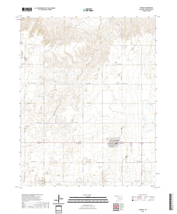
Loading map...2022 Map of Forgan
USGS Topo · Published 2022About this map
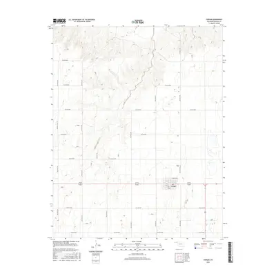
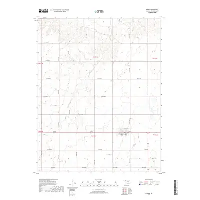
Forgan serves as the primary settlement in this portion of Beaver County, situated within the Public Land Survey System grids of t5n r23e and t6n r23e. The town center is structured around a traditional grid featuring Main St and several numbered thoroughfares like S 2nd St and N Branch 3rd. North of the main residential and commercial blocks lies the Forgan Cem, a critical site for genealogical research in this rural Oklahoma landscape.
Find a feature on this map
24 named features on this map. Tap any name to fly to it.
Don’t see what you’re looking for? This feature index may not catch every label — zoom into the map to look around manually.
Map Details
Date Portrayed2022
Date Published2022
PublisherU.S. Geological Survey
Map TypeTopographic
Scale1:24,000
Physical Dimensions24 x 29 inches
Editions of this 2022 Forgan Map
This is the sole edition of this map. No revisions or reprints were ever made.
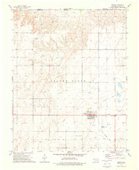
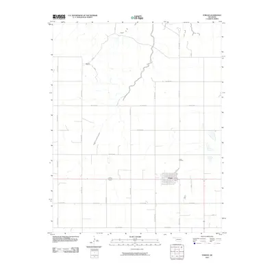
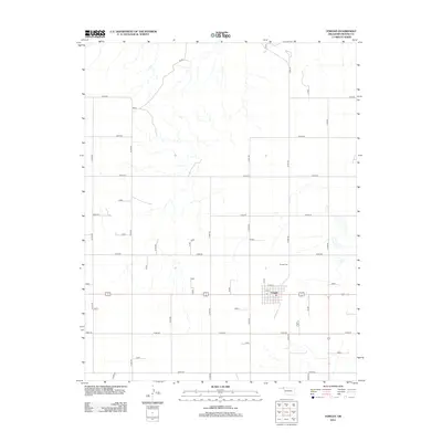
Historical Maps of Forgan Through Time
6 maps found
Featured Locations
Source Details
SourceU.S. Geological Survey
CopyrightPublic Domain