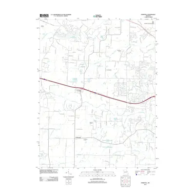
2012 Map of Foristell
USGS Topo · Published 2012About this map
Foristell and Pauldingville anchor this 2012 study of the borderlands between Saint Charles and Warren counties, illustrating a landscape where traditional rural Missouri meets modern suburban development. The area is defined by a dense network of water bodies, including Incline Village Lake, Lake Wood, and Howard E Brewer Lake, alongside several unnamed reservoirs and ponds that feed into Peruque Creek and Little Dardenne Creek. These waterways provide a clear look at the drainage patterns that have historically shaped local land use and property boundaries.
Find a feature on this map
125 named features on this map. Tap any name to fly to it.
Don’t see what you’re looking for? This feature index may not catch every label — zoom into the map to look around manually.
Map Details
Editions of this 2012 Foristell Map
This is the sole edition of this map. No revisions or reprints were ever made.
Other maps of this area

1890 · Hermann
USGS Topo · 1:125,000

1903 · O'Fallon
USGS Topo · 1:125,000

1941 · Troy
USGS Topo · 1:62,500

1943 · Warrenton
USGS Topo · 1:62,500

1945 · Troy
USGS Topo · 1:62,500

1945 · Warrenton
USGS Topo · 1:62,500

1948 · Washington
USGS Topo · 1:62,500

1948 · Augusta
USGS Topo · 1:62,500

1949 · Saint Louis
USGS Topo · 1:250,000
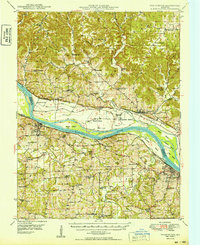
1949 · Washington
USGS Topo · 1:62,500