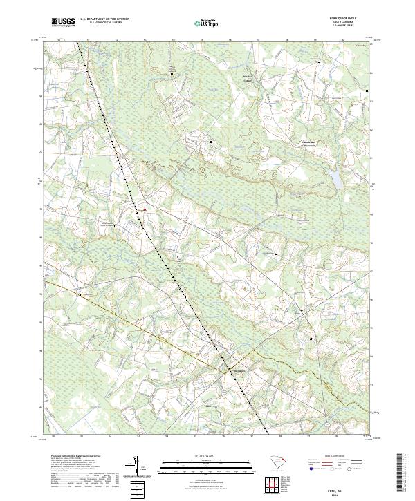
2024 Map of Fork
USGS Topo · Published 2024This historical map portrays the area of Fork in 2024, primarily covering Dillon County as well as portions of Marion County. Featuring a scale of 1:24000, this map provides a highly detailed snapshot of the terrain, roads, buildings, counties, and historical landmarks in the Fork region at the time. Published in 2024, it is the sole known edition of this map.
Map Details
Editions of this 2024 Fork Map
This is the sole edition of this map. No revisions or reprints were ever made.
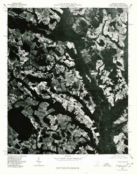
Historical Maps of Hayestown Through Time
12 maps found
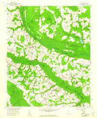
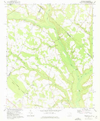
1959 Fork
Dillon County, SC
1960 Dillon East
Dillon County, SC
1960 Dillon West
Dillon County, SC
1971 Minturn
Dillon County, SC

1972 Oak Grove
Dillon County, SC
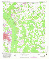
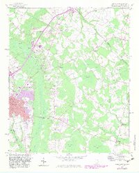
1976 Dillon East
Dillon County, SC
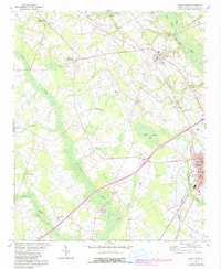
1976 Minturn
Dillon County, SC
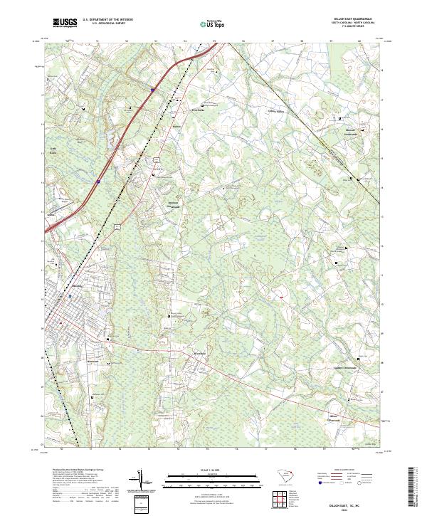
2024 Dillon East
Dillon County, SC
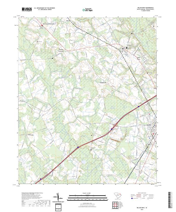
2024 Dillon West
Dillon County, SC
2024 Fork
Dillon County, SC
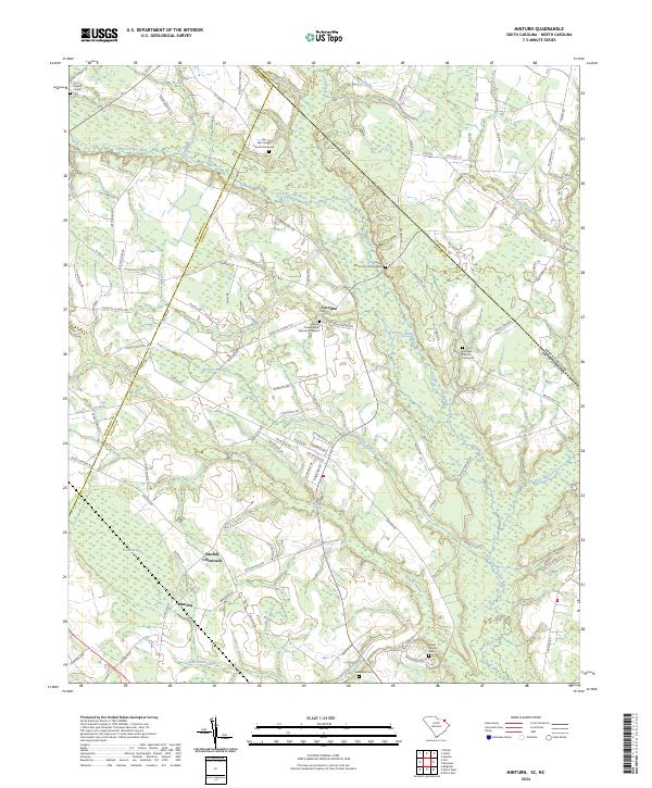
2024 Minturn
Dillon County, SC
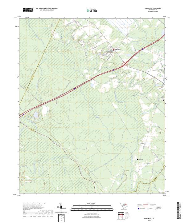
2024 Oak Grove
Dillon County, SC