1960 Map of Dillon East
USGS Topo · Published 1983About this map
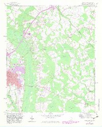
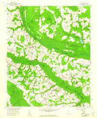
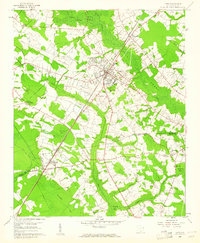
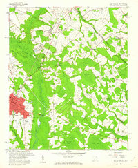
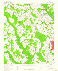
The city of Dillon serves as the focal point for this survey, showing the town's expansion toward the Little Pee Dee River and the concentration of civic life at the Gordon High Sch and South Dillon Sch. The Seaboard Coast Line railroad dictates the corridor of growth, passing through Hamer and past numerous storage bins, signaling the region's agricultural economy.
Find a feature on this map
72 named features on this map. Tap any name to fly to it.
Don’t see what you’re looking for? This feature index may not catch every label — zoom into the map to look around manually.
Map Details
Editions of this 1960 Dillon East Map
2 editions found
Other maps of this area

1943 · Pages Mill
USGS Topo · 1:62,500

1953 · Florence
USGS Topo · 1:250,000

1954 · Florence
USGS Topo · 1:250,000
1959 · Fork
USGS Topo · 1:24,000
1960 · Latta
USGS Topo · 1:24,000
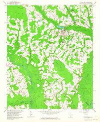
1960 · Dillon East
USGS Topo · 1:24,000
1960 · Dillon West
USGS Topo · 1:24,000
1962 · Lake View
USGS Topo · 1:24,000
1962 · Gaddysville
USGS Topo · 1:24,000
1962 · Fair Bluff
USGS Topo · 1:62,500