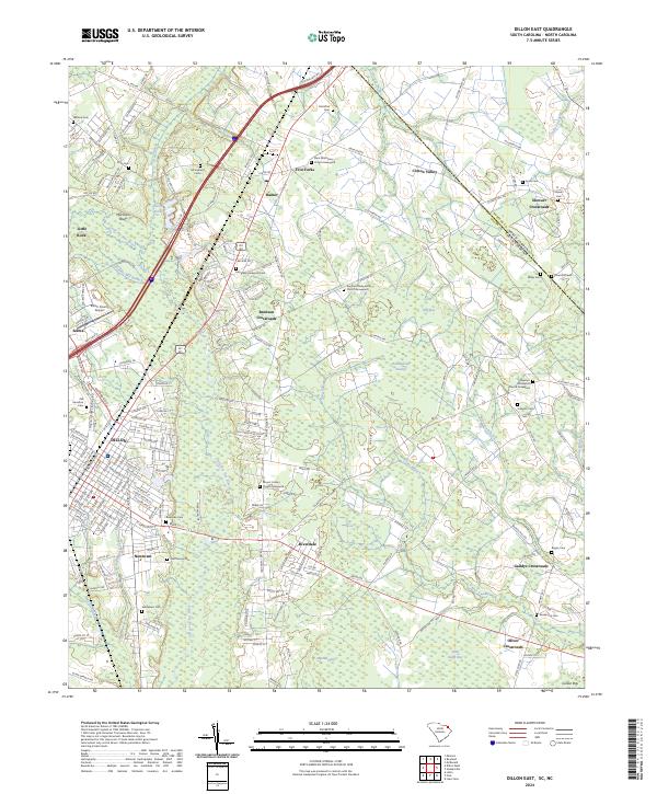
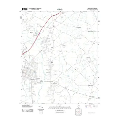
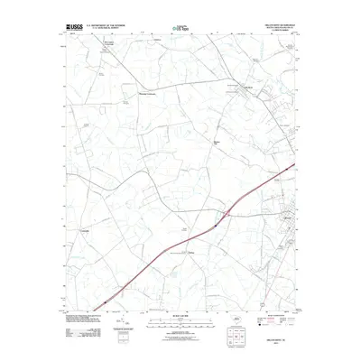
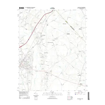
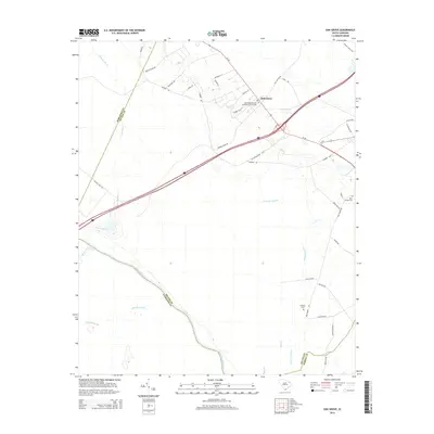
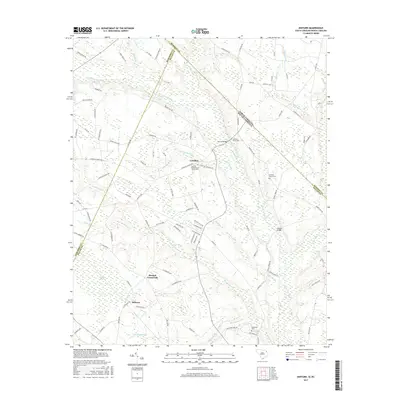
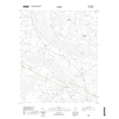
2024 Map of Dillon East
USGS Topo · Published 2024About this map
The Little Pee Dee River winds through this landscape on the border of South Carolina and North Carolina, defining a region where river bottomlands meet established agricultural crossroads. The city of Dillon serves as the regional hub, supported by the Csx Transportation rail line and a network of highways including I-95 and Us 301 Us 501. Numerous family and community burying grounds, such as McCayhan Cem and Rose Hill Cem, are scattered across the terrain, reflecting deep generational roots in the surrounding countryside.
Find a feature on this map
59 named features on this map. Tap any name to fly to it.
Don’t see what you’re looking for? This feature index may not catch every label — zoom into the map to look around manually.
Map Details
Editions of this 2024 Dillon East Map
This is the sole edition of this map. No revisions or reprints were ever made.
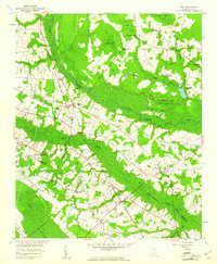
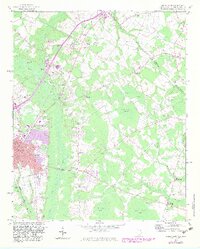
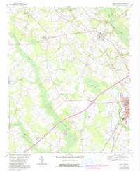
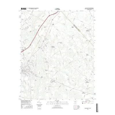
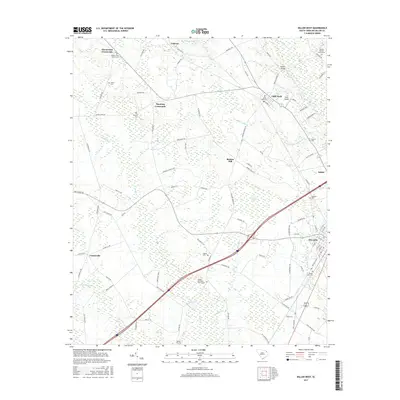
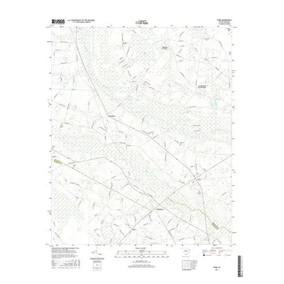
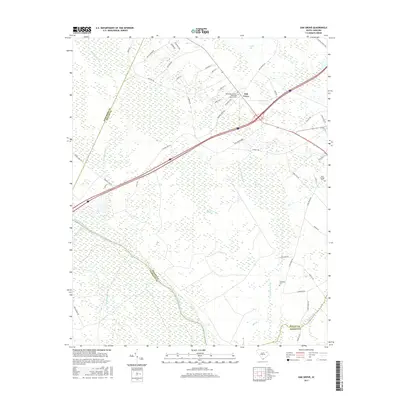
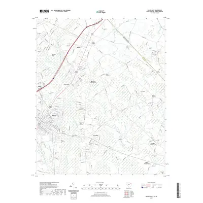
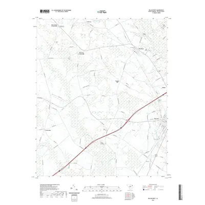
Historical Maps of Dillon Through Time
32 maps found
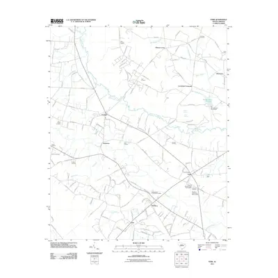
1959 Fork
Dillon County, SC
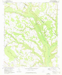
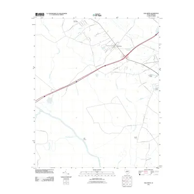
1960 Dillon East
Dillon County, SC
1960 Dillon West
Dillon County, SC
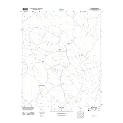
1971 Minturn
Dillon County, SC

1972 Oak Grove
Dillon County, SC
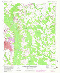
1976 Dillon East
Dillon County, SC
1976 Minturn
Dillon County, SC
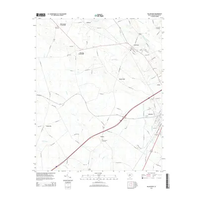
2011 Dillon East
Dillon County, SC
2011 Dillon West
Dillon County, SC
2011 Fork
Dillon County, SC
2011 Minturn
Dillon County, SC
2011 Oak Grove
Dillon County, SC
2014 Dillon East
Dillon County, SC
2014 Dillon West
Dillon County, SC
2014 Fork
Dillon County, SC
2014 Minturn
Dillon County, SC
2014 Oak Grove
Dillon County, SC
2017 Dillon East
Dillon County, SC
2017 Dillon West
Dillon County, SC
2017 Fork
Dillon County, SC
2017 Minturn
Dillon County, SC
2017 Oak Grove
Dillon County, SC
2020 Dillon East
Dillon County, SC
2020 Dillon West
Dillon County, SC
2020 Fork
Dillon County, SC
2020 Minturn
Dillon County, SC
2020 Oak Grove
Dillon County, SC
2024 Dillon East
Dillon County, SC
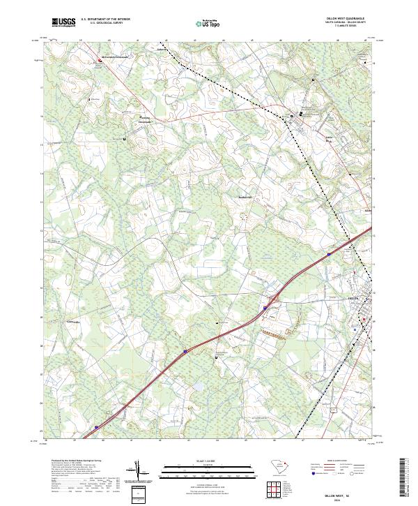
2024 Dillon West
Dillon County, SC
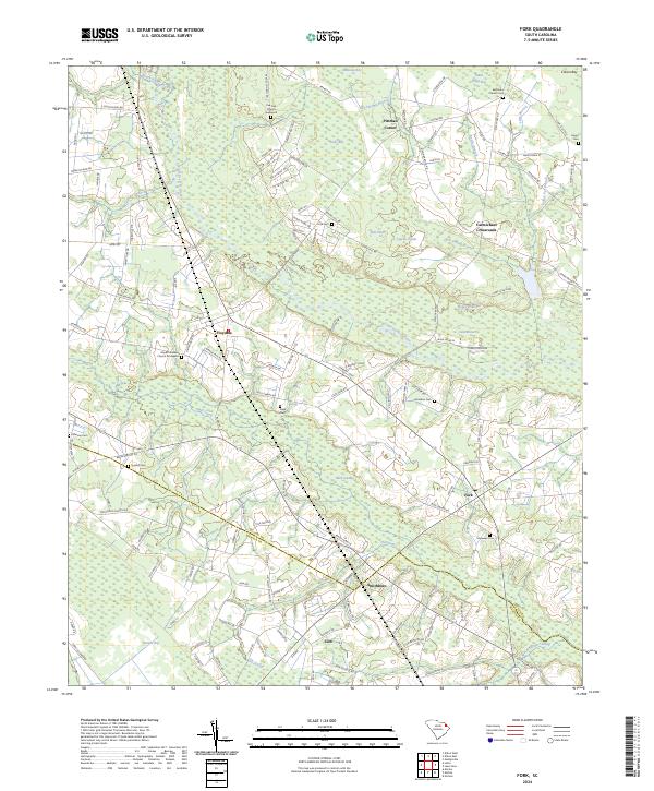
2024 Fork
Dillon County, SC
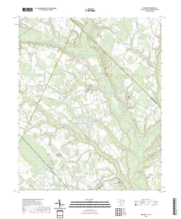
2024 Minturn
Dillon County, SC
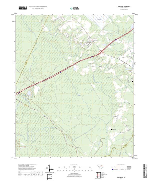
2024 Oak Grove
Dillon County, SC