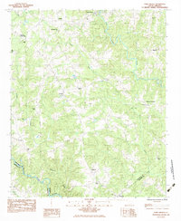
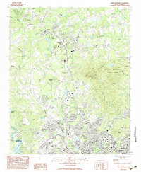
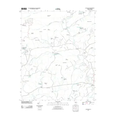
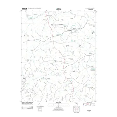
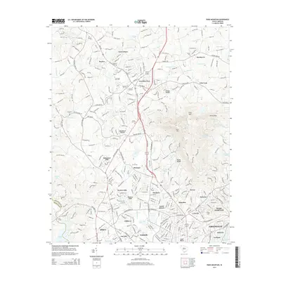
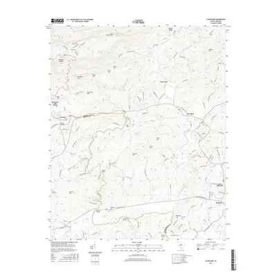
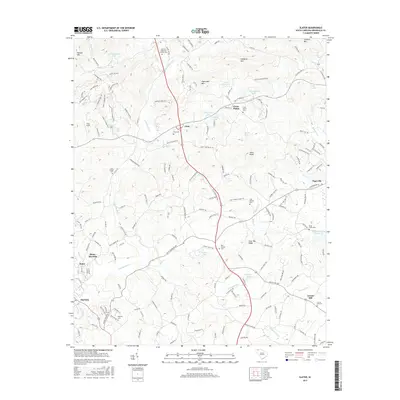
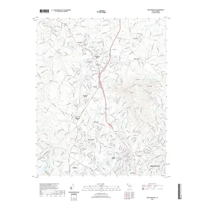
1983 Map of Fork Shoals
USGS Topo · Published 1983About this map
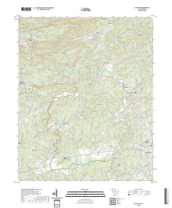
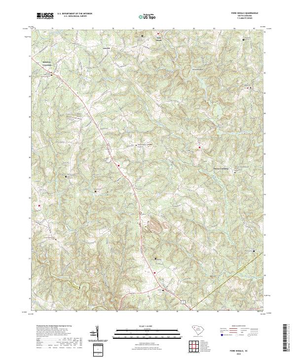
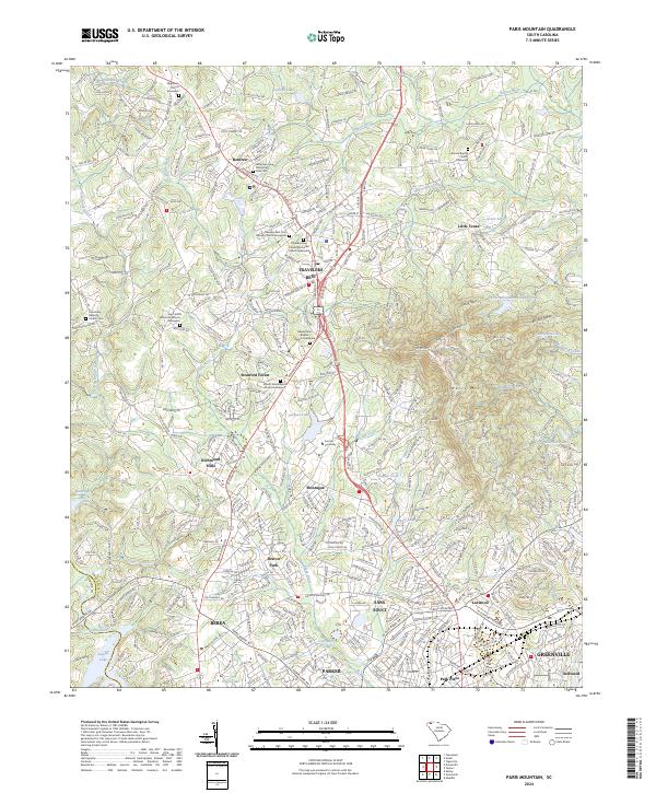
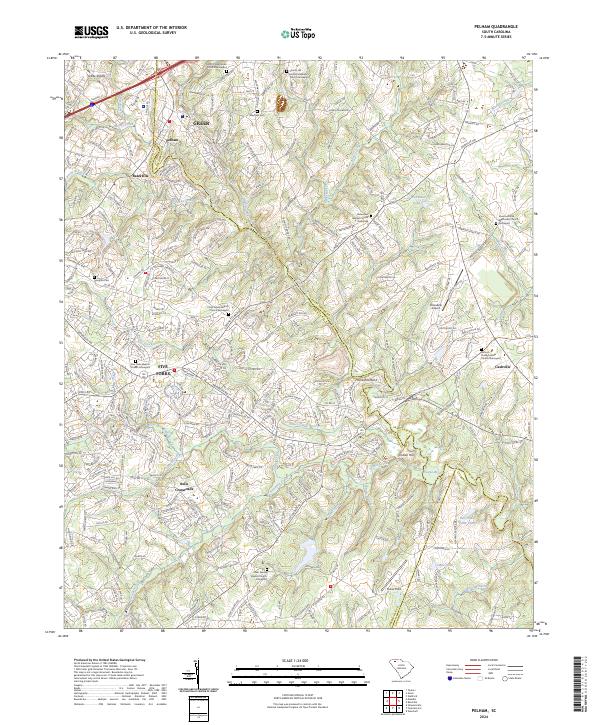
Fork Shoals serves as a focal point in this 1980s landscape, situated where the Reedy River winds through the northern South Carolina countryside. The area is defined by a dense network of small rural communities and family-named landmarks, reflecting a deep-seated settlement pattern that straddles the borders of Greenville, Anderson, and Laurens counties. The terrain is crisscrossed by several prominent watercourses, including Horse Creek and the Saluda River, which form natural boundaries for the surrounding townships.
Find a feature on this map
28 named features on this map. Tap any name to fly to it.
Don’t see what you’re looking for? This feature index may not catch every label — zoom into the map to look around manually.
Map Details
Editions of this 1983 Fork Shoals Map
This is the sole edition of this map. No revisions or reprints were ever made.
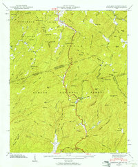
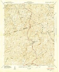
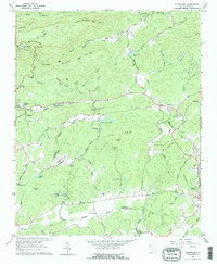
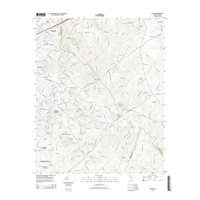
Historical Maps of Duncan Township Through Time
38 maps found
1946 Eastatoe Gap
Greenville County, SC
1947 Eastatoe Gap
Greenville County, SC
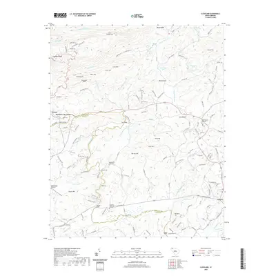
1961 Cleveland
Greenville County, SC
1983 Fork Shoals
Greenville County, SC
1983 Paris Mountain
Greenville County, SC
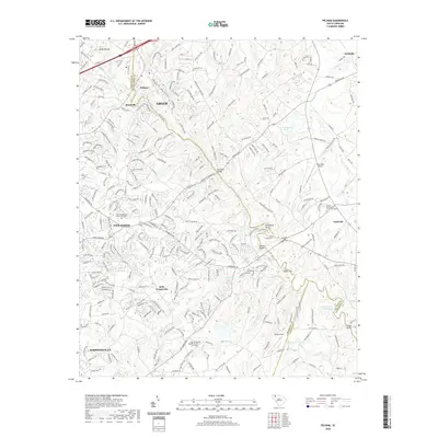
1983 Pelham
Greenville County, SC
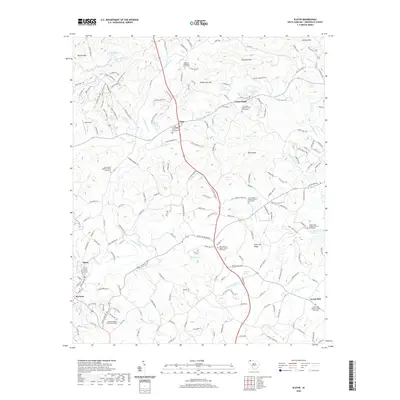
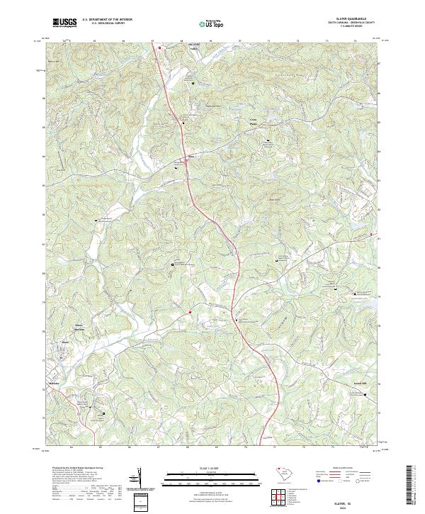
1983 Slater
Greenville County, SC
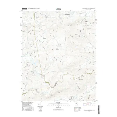
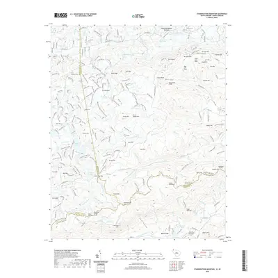
1997 Standingstone Mtn
Greenville County, SC
2011 Cleveland
Greenville County, SC
2011 Fork Shoals
Greenville County, SC
2011 Paris Mountain
Greenville County, SC
2011 Pelham
Greenville County, SC
2011 Slater
Greenville County, SC
2011 Standingstone Mountain
Greenville County, SC
2014 Cleveland
Greenville County, SC
2014 Fork Shoals
Greenville County, SC
2014 Paris Mountain
Greenville County, SC
2014 Pelham
Greenville County, SC
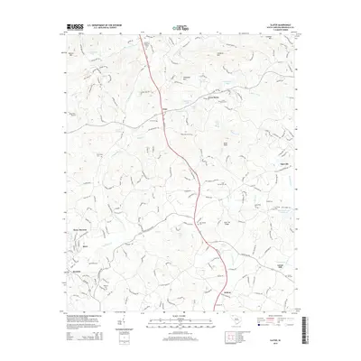
2014 Slater
Greenville County, SC
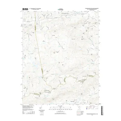
2014 Standingstone Mountain
Greenville County, SC
2017 Cleveland
Greenville County, SC
2017 Fork Shoals
Greenville County, SC
2017 Paris Mountain
Greenville County, SC
2017 Pelham
Greenville County, SC
2017 Slater
Greenville County, SC
2017 Standingstone Mountain
Greenville County, SC
2020 Cleveland
Greenville County, SC
2020 Fork Shoals
Greenville County, SC
2020 Paris Mountain
Greenville County, SC
2020 Pelham
Greenville County, SC
2020 Slater
Greenville County, SC
2020 Standingstone Mountain
Greenville County, SC
2024 Cleveland
Greenville County, SC
2024 Fork Shoals
Greenville County, SC
2024 Paris Mountain
Greenville County, SC
2024 Pelham
Greenville County, SC
2024 Slater
Greenville County, SC
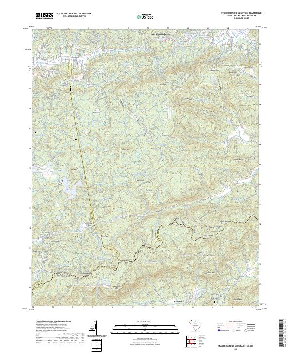
2024 Standingstone Mountain
Greenville County, SC