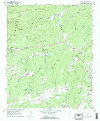
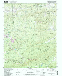
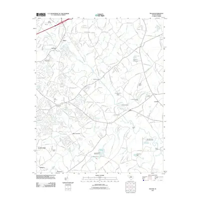
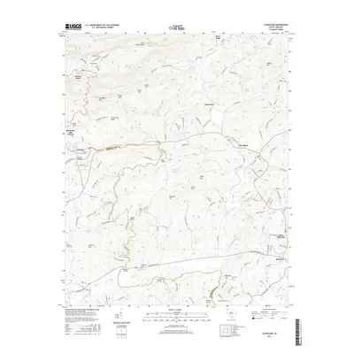
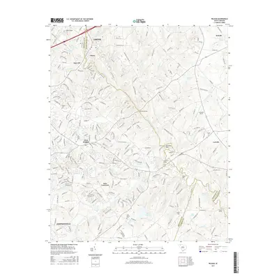
1961 Map of Cleveland
USGS Topo · Published 1976About this map
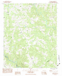
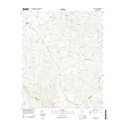
Caesars Head commands the northwestern heights of this landscape, where the Blue Ridge Escarpment begins its dramatic drop toward the Piedmont. The boundary between Greenville Co and Pickens Co follows the course of the Middle Saluda River and South Saluda River, marking a territory defined by sharp relief and numerous named peaks such as Little Pinnacle Mtn and Watson Mtn. This survey captures a region transitioning from rural isolation to recreational use, evidenced by the cluster of organizational retreats like Civitan Camp, Camp Parker, and Camp Marietta. Local genealogy is well-preserved through family-named landmarks and small community anchors, including Hardin Cem, Moody Cem, and churches like South Saluda Ch. The infrastructure of the era is visible in the prominent Aqueduct and several named river crossings such as Freeman Bridge and Mayfield Bridge.
Find a feature on this map
58 named features on this map. Tap any name to fly to it.
Don’t see what you’re looking for? This feature index may not catch every label — zoom into the map to look around manually.
Map Details
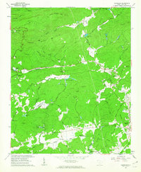
Editions of this 1961 Cleveland Map
2 editions found
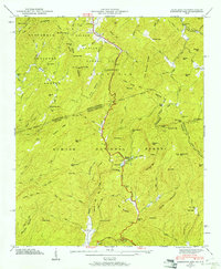
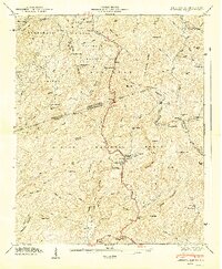
Historical Maps of Slater-Marietta Through Time
38 maps found
1946 Eastatoe Gap
Greenville County, SC
1947 Eastatoe Gap
Greenville County, SC
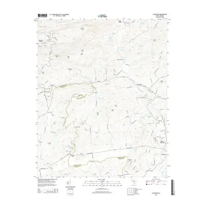
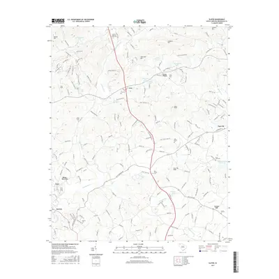
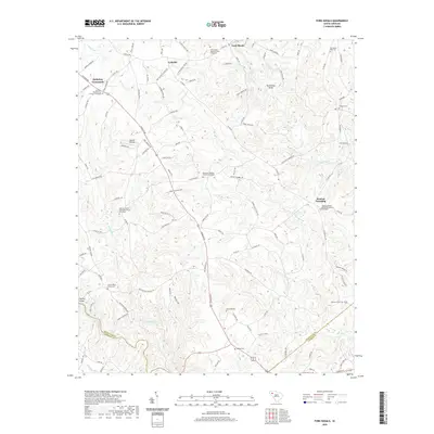
1961 Cleveland
Greenville County, SC
1983 Fork Shoals
Greenville County, SC
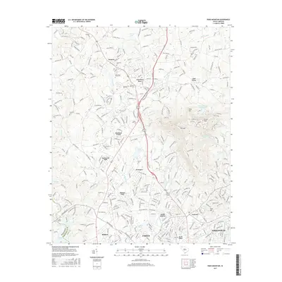
1983 Paris Mountain
Greenville County, SC
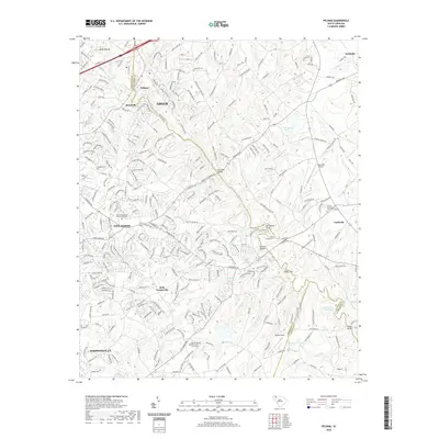
1983 Pelham
Greenville County, SC
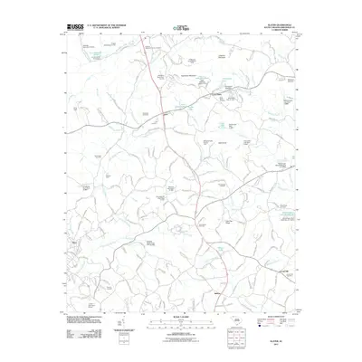
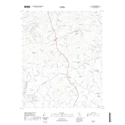
1983 Slater
Greenville County, SC
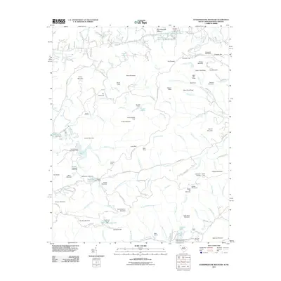
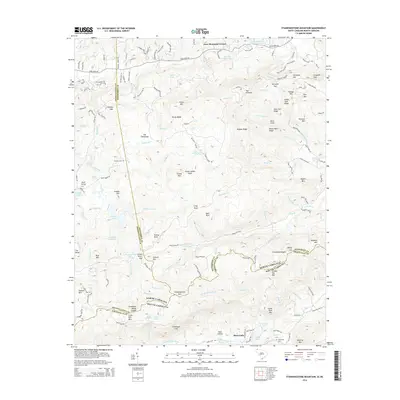
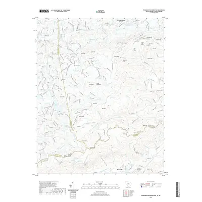
1997 Standingstone Mtn
Greenville County, SC
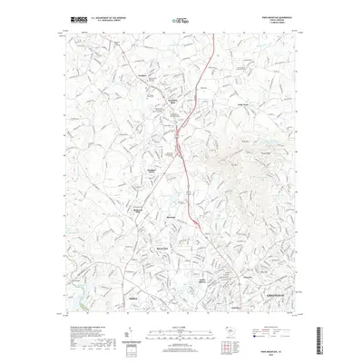
2011 Cleveland
Greenville County, SC
2011 Fork Shoals
Greenville County, SC
2011 Paris Mountain
Greenville County, SC
2011 Pelham
Greenville County, SC
2011 Slater
Greenville County, SC
2011 Standingstone Mountain
Greenville County, SC
2014 Cleveland
Greenville County, SC
2014 Fork Shoals
Greenville County, SC
2014 Paris Mountain
Greenville County, SC
2014 Pelham
Greenville County, SC
2014 Slater
Greenville County, SC
2014 Standingstone Mountain
Greenville County, SC
2017 Cleveland
Greenville County, SC
2017 Fork Shoals
Greenville County, SC
2017 Paris Mountain
Greenville County, SC
2017 Pelham
Greenville County, SC
2017 Slater
Greenville County, SC
2017 Standingstone Mountain
Greenville County, SC
2020 Cleveland
Greenville County, SC
2020 Fork Shoals
Greenville County, SC
2020 Paris Mountain
Greenville County, SC
2020 Pelham
Greenville County, SC
2020 Slater
Greenville County, SC
2020 Standingstone Mountain
Greenville County, SC
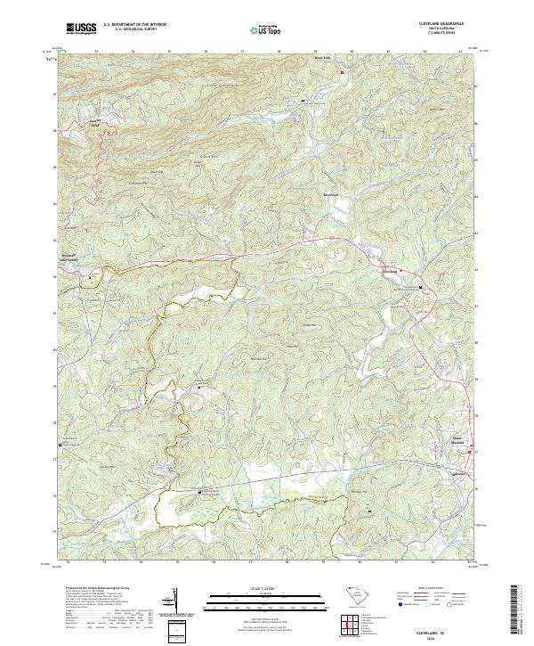
2024 Cleveland
Greenville County, SC
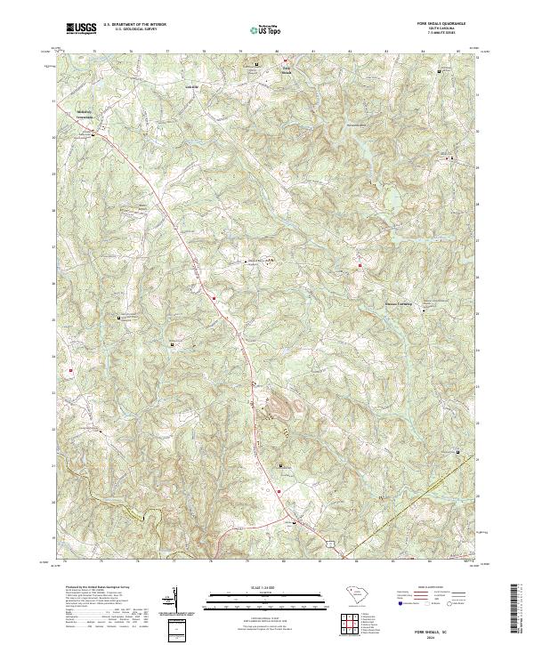
2024 Fork Shoals
Greenville County, SC
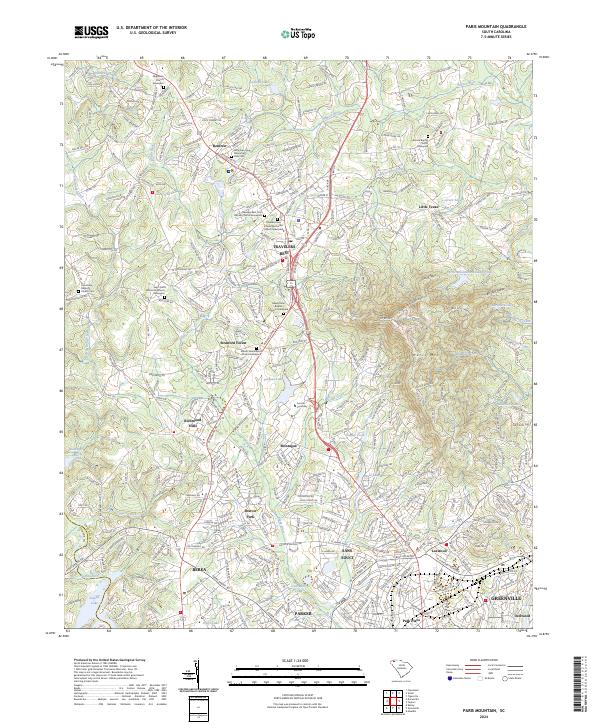
2024 Paris Mountain
Greenville County, SC
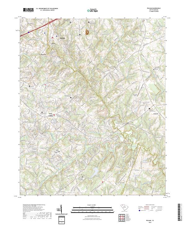
2024 Pelham
Greenville County, SC
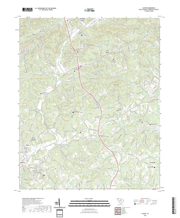
2024 Slater
Greenville County, SC
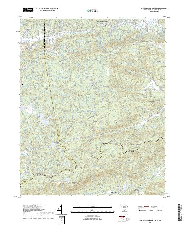
2024 Standingstone Mountain
Greenville County, SC