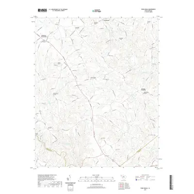
2024 Map of Fork Shoals
USGS Topo · Published 2024About this map
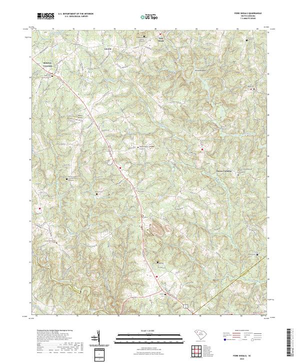
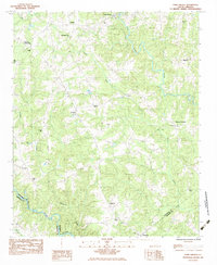
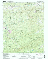
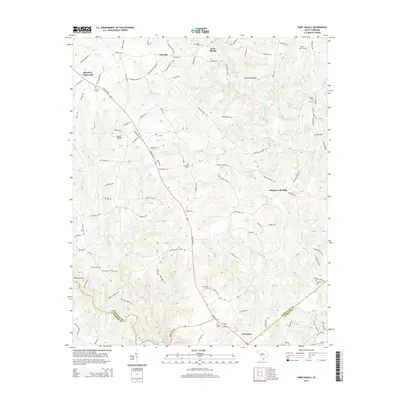
Fork Shoals and Lickville anchor this southern Greenville County landscape, where the Reedy River and Saluda River frame a region defined by longstanding rural communities. The map highlights a significant concentration of local heritage sites, particularly church graveyards such as Lickville Presbyterian Church Graveyard and the Daventon Baptist Church Graveyard. These landmarks, along with family burial grounds like the Cooley Whitt Family Cem, provide essential data for genealogical research in Duncan Township. The terrain is marked by distinctive water features including Horseshoe Bend and Cedar Shoals, illustrating the hydrology that influenced early settlement patterns. Modern infrastructure like Oakhill Airpark and the intersection at McKelvey Crossroads sits alongside older landmarks, reflecting the gradual evolution of this Piedmont area near the border with Anderson and Laurens counties.
Find a feature on this map
119 named features on this map. Tap any name to fly to it.
Don’t see what you’re looking for? This feature index may not catch every label — zoom into the map to look around manually.
Map Details
Editions of this 2024 Fork Shoals Map
This is the sole edition of this map. No revisions or reprints were ever made.
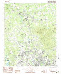
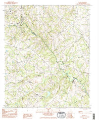
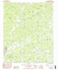
Historical Maps of Fork Shoals Through Time
38 maps found
1946 Eastatoe Gap
Greenville County, SC
1947 Eastatoe Gap
Greenville County, SC
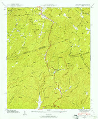
1961 Cleveland
Greenville County, SC
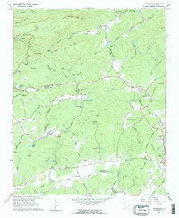
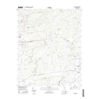
1983 Fork Shoals
Greenville County, SC
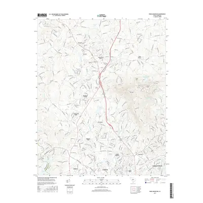
1983 Paris Mountain
Greenville County, SC
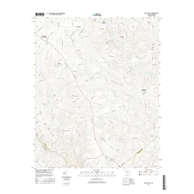
1983 Pelham
Greenville County, SC
1983 Slater
Greenville County, SC
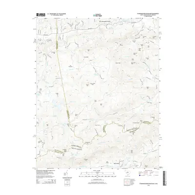
1997 Standingstone Mtn
Greenville County, SC
2011 Cleveland
Greenville County, SC
2011 Fork Shoals
Greenville County, SC
2011 Paris Mountain
Greenville County, SC
2011 Pelham
Greenville County, SC
2011 Slater
Greenville County, SC
2011 Standingstone Mountain
Greenville County, SC
2014 Cleveland
Greenville County, SC
2014 Fork Shoals
Greenville County, SC
2014 Paris Mountain
Greenville County, SC
2014 Pelham
Greenville County, SC
2014 Slater
Greenville County, SC
2014 Standingstone Mountain
Greenville County, SC
2017 Cleveland
Greenville County, SC
2017 Fork Shoals
Greenville County, SC
2017 Paris Mountain
Greenville County, SC
2017 Pelham
Greenville County, SC
2017 Slater
Greenville County, SC
2017 Standingstone Mountain
Greenville County, SC
2020 Cleveland
Greenville County, SC
2020 Fork Shoals
Greenville County, SC
2020 Paris Mountain
Greenville County, SC
2020 Pelham
Greenville County, SC
2020 Slater
Greenville County, SC
2020 Standingstone Mountain
Greenville County, SC
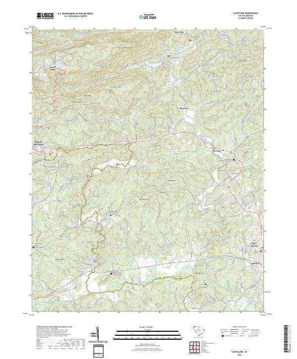
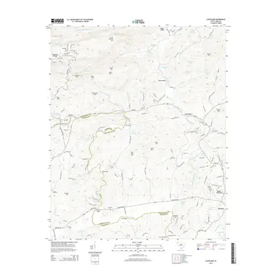
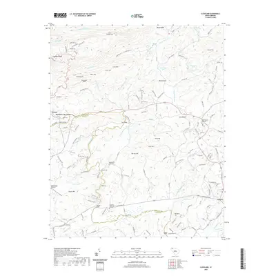
2024 Cleveland
Greenville County, SC
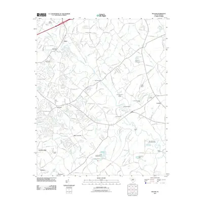
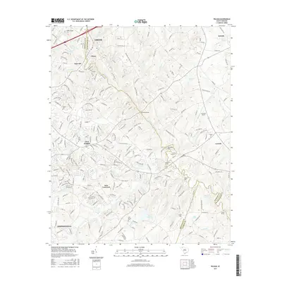
2024 Fork Shoals
Greenville County, SC
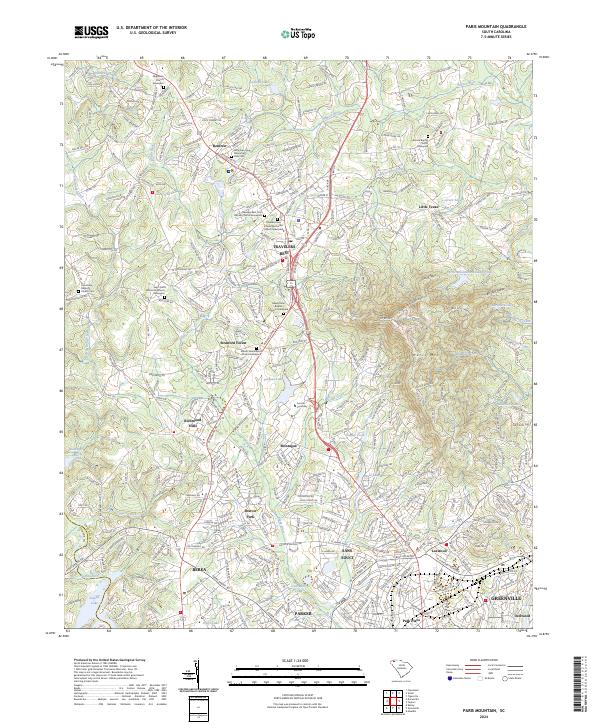
2024 Paris Mountain
Greenville County, SC
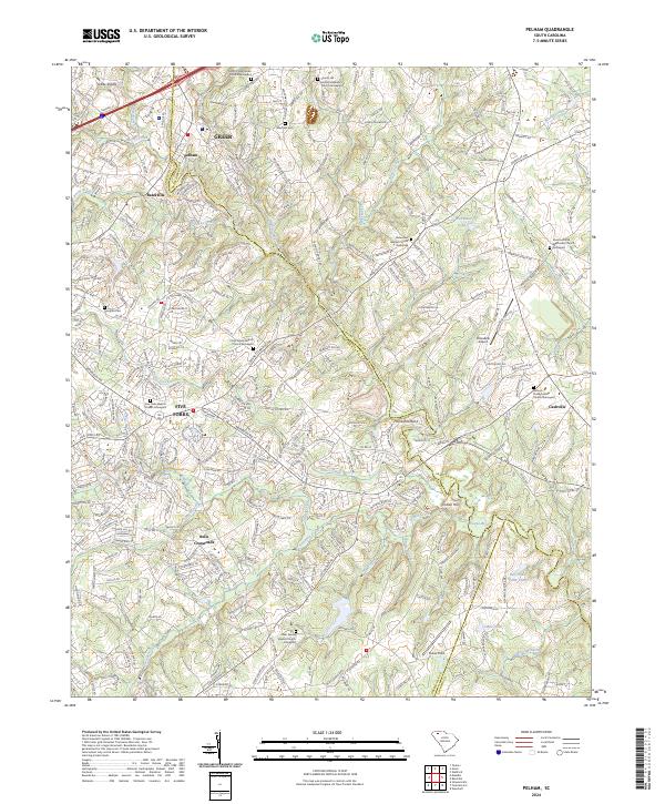
2024 Pelham
Greenville County, SC
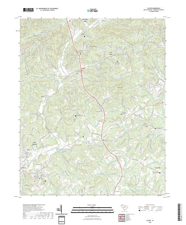
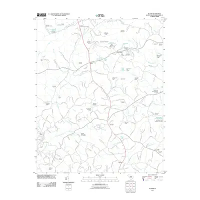
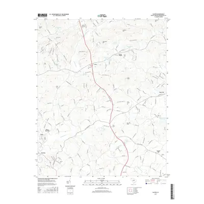
2024 Slater
Greenville County, SC
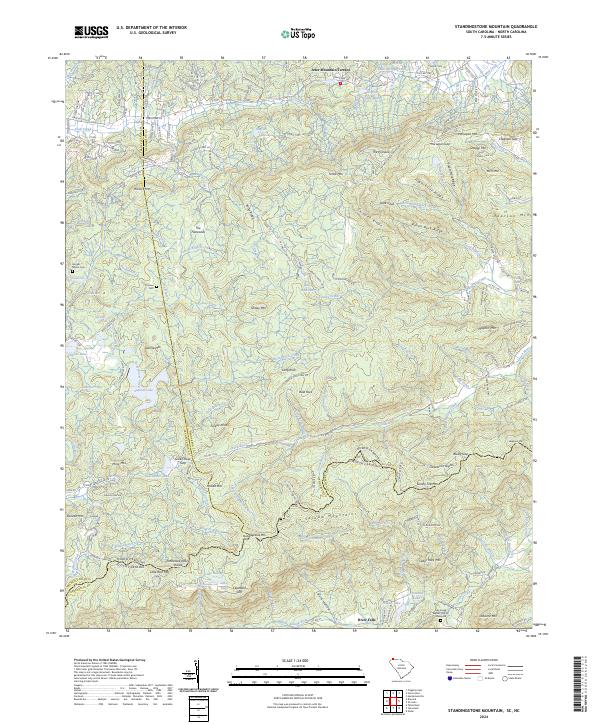
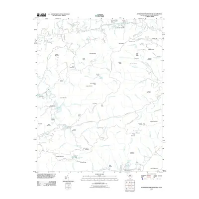
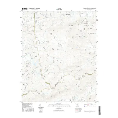
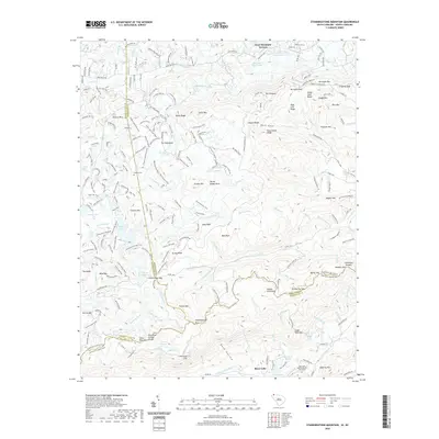
2024 Standingstone Mountain
Greenville County, SC