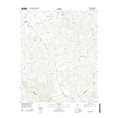
2014 Map of Fork Shoals
USGS Topo · Published 2014About this map
Fork Shoals and Princeton sit at the center of a landscape defined by the convergence of the Saluda River and the Reedy River in upstate South Carolina. This 2014 survey captures a rural territory where family-named landmarks and cemeteries dominate the local geography, reflecting generations of land ownership. From the northern reaches of Lickville down to the intersection at McKelvey Crossroads, the terrain is marked by distinct river features like Horseshoe Bend and Cedar Shoals. The presence of Oakhill Airpark alongside numerous burial grounds such as Hillside Cem and Daventon Cem suggests a mix of mid-century infrastructure and much older settlement patterns. Further south, the boundary between Greenville and Anderson counties follows the natural curve of the Saluda River, while Duncan Township occupies the eastern portion of the map.
Find a feature on this map
113 named features on this map. Tap any name to fly to it.
Don’t see what you’re looking for? This feature index may not catch every label — zoom into the map to look around manually.
Map Details
Editions of this 2014 Fork Shoals Map
This is the sole edition of this map. No revisions or reprints were ever made.
Other maps of this area

1892 · Abbeville
USGS Topo · 1:125,000

1954 · Greenville
USGS Topo · 1:250,000

1957 · Fountain Inn
USGS Topo · 1:62,500

1957 · Williamston
USGS Topo · 1:62,500

1958 · Greenville
USGS Topo · 1:250,000
1970 · Honea Path
USGS Topo · 1:24,000
1971 · Ware Shoals East
USGS Topo · 1:24,000
1971 · Ware Shoals West
USGS Topo · 1:24,000
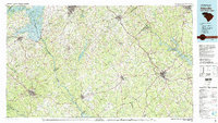
1979 · Abbeville
USGS Topo · 1:100,000
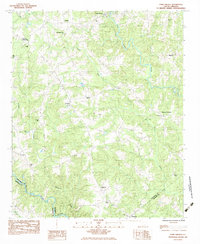
1983 · Fork Shoals
USGS Topo · 1:24,000