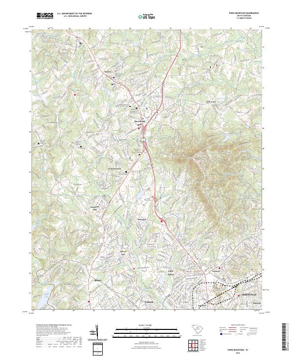
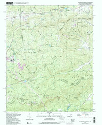
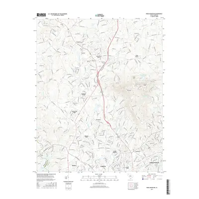
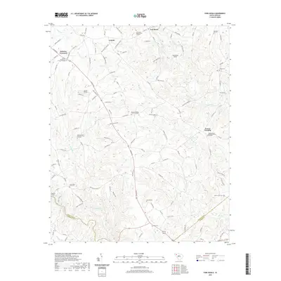
2024 Map of Paris Mountain
USGS Topo · Published 2024About this map
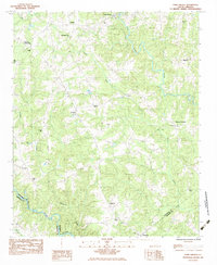
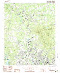
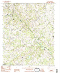
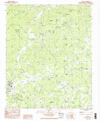
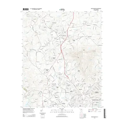
Furman University sits as a central landmark in this 2024 survey, situated north of Greenville where the foothills begin to rise toward the Blue Ridge. The landscape is defined by the prominent heights of Paris Mtn and its surrounding protected lands within Paris Mtn State Park. This area serves as a significant hydrological divide, with the Reedy River winding through the center and the Enoree River and Saluda River framing the eastern and western reaches of the quadrangle.
Find a feature on this map
63 named features on this map. Tap any name to fly to it.
Don’t see what you’re looking for? This feature index may not catch every label — zoom into the map to look around manually.
Map Details
Editions of this 2024 Paris Mountain Map
This is the sole edition of this map. No revisions or reprints were ever made.
Historical Maps of Greenville Through Time
38 maps found
1946 Eastatoe Gap
Greenville County, SC
1947 Eastatoe Gap
Greenville County, SC
1961 Cleveland
Greenville County, SC
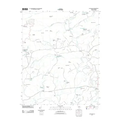
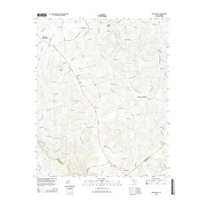
1983 Fork Shoals
Greenville County, SC
1983 Paris Mountain
Greenville County, SC
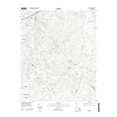
1983 Pelham
Greenville County, SC
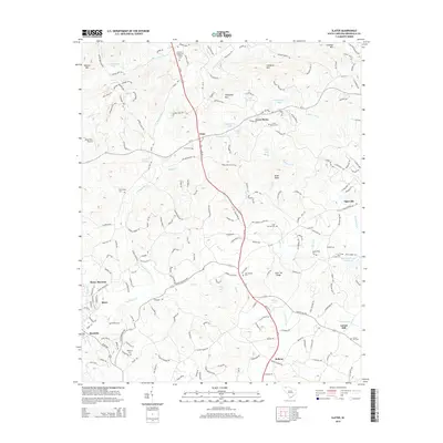
1983 Slater
Greenville County, SC
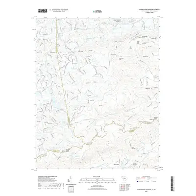
1997 Standingstone Mtn
Greenville County, SC
2011 Cleveland
Greenville County, SC
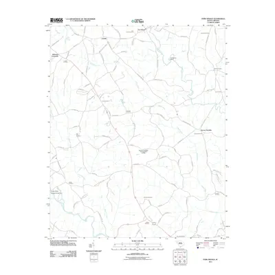
2011 Fork Shoals
Greenville County, SC
2011 Paris Mountain
Greenville County, SC
2011 Pelham
Greenville County, SC
2011 Slater
Greenville County, SC
2011 Standingstone Mountain
Greenville County, SC
2014 Cleveland
Greenville County, SC
2014 Fork Shoals
Greenville County, SC
2014 Paris Mountain
Greenville County, SC
2014 Pelham
Greenville County, SC
2014 Slater
Greenville County, SC
2014 Standingstone Mountain
Greenville County, SC
2017 Cleveland
Greenville County, SC
2017 Fork Shoals
Greenville County, SC
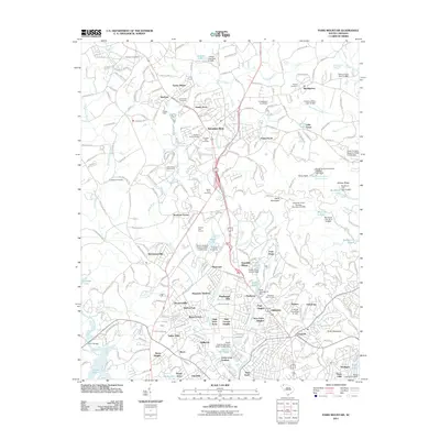
2017 Paris Mountain
Greenville County, SC
2017 Pelham
Greenville County, SC
2017 Slater
Greenville County, SC
2017 Standingstone Mountain
Greenville County, SC
2020 Cleveland
Greenville County, SC
2020 Fork Shoals
Greenville County, SC
2020 Paris Mountain
Greenville County, SC
2020 Pelham
Greenville County, SC
2020 Slater
Greenville County, SC
2020 Standingstone Mountain
Greenville County, SC
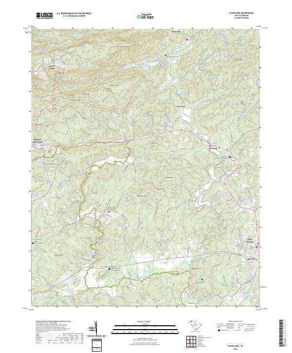
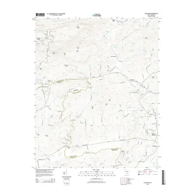
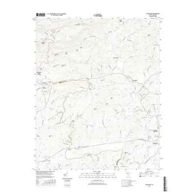
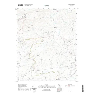
2024 Cleveland
Greenville County, SC
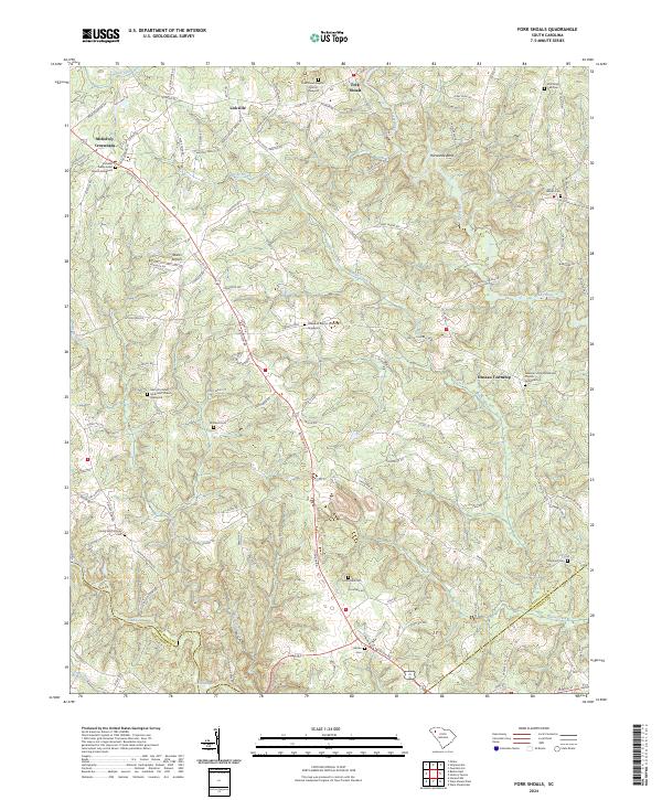
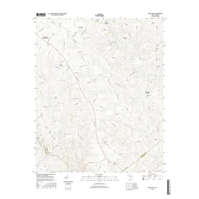
2024 Fork Shoals
Greenville County, SC
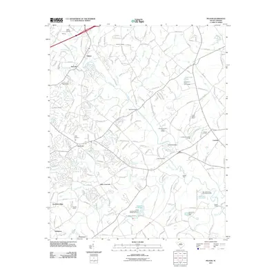
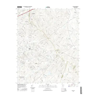
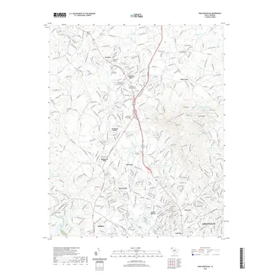
2024 Paris Mountain
Greenville County, SC
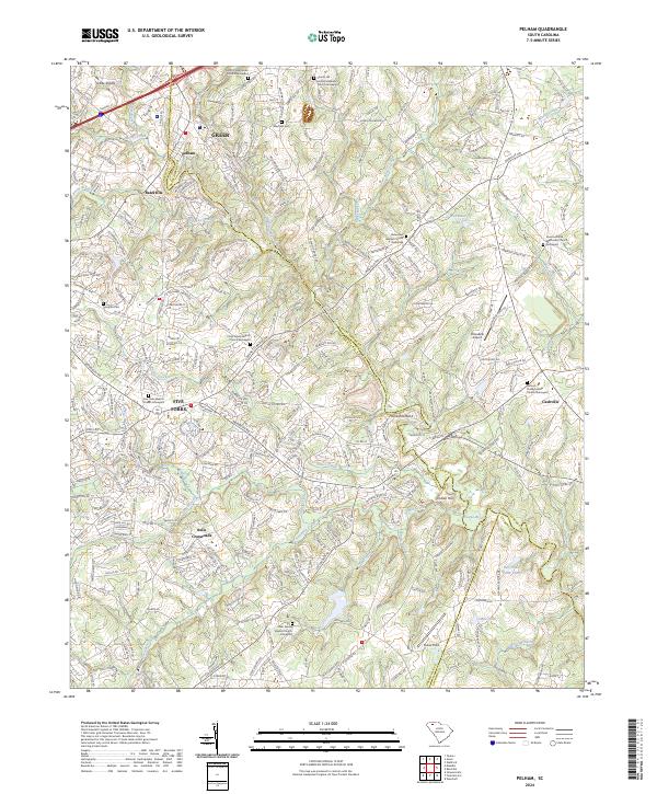
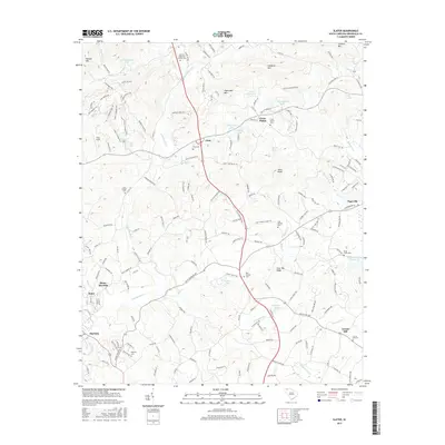
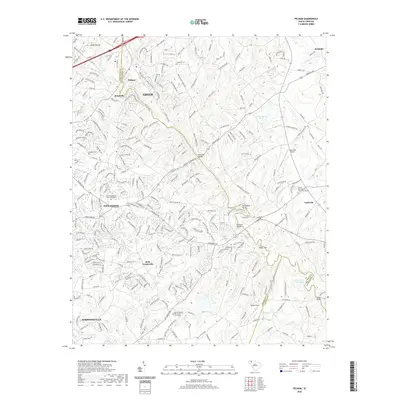
2024 Pelham
Greenville County, SC
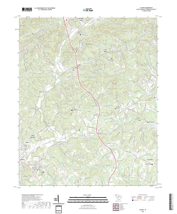
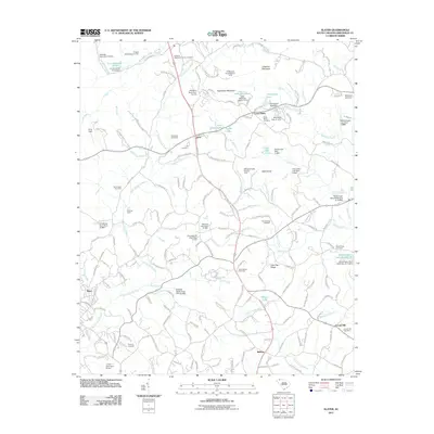
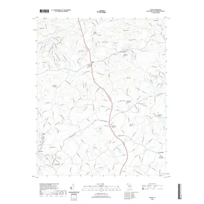
2024 Slater
Greenville County, SC
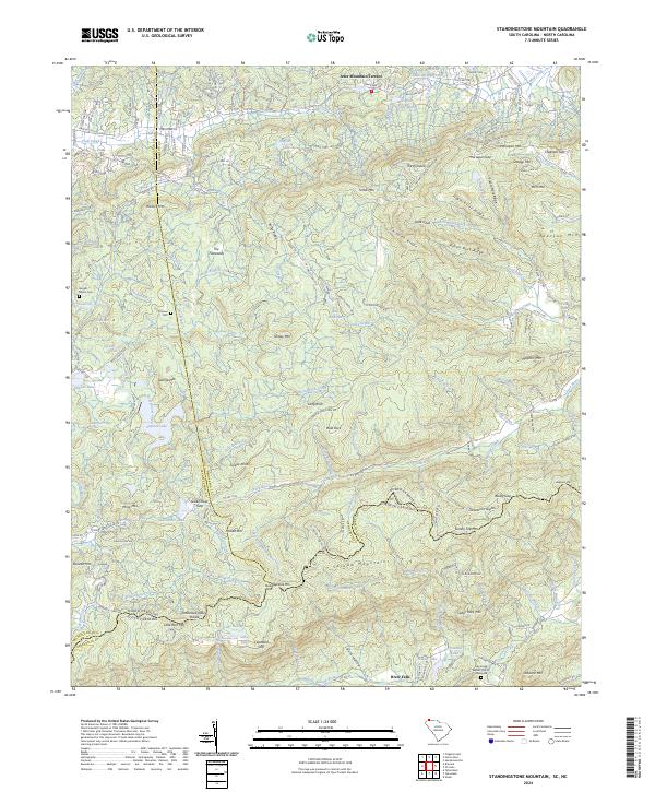
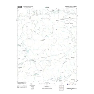
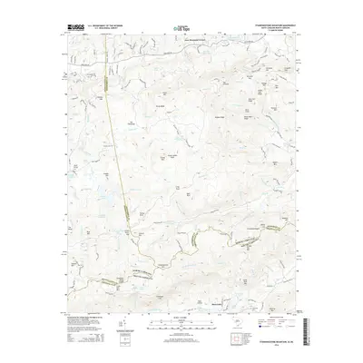
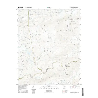
2024 Standingstone Mountain
Greenville County, SC