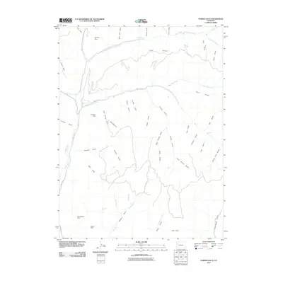
2010 Map of Forked Gulch
USGS Topo · Published 2010About this map
Parachute Creek and its many diverging branches dominate this high-desert drainage system in Garfield County. The landscape is defined by a series of narrow, deep gulches—such as Granlee Gulch and Forked Gulch—carved between prominent high points like Pyramid Point and Lindauer Point. Water management is evident through the presence of the Granlee Ditch, while the natural drop of the terrain is marked by East Middle Fork Falls and East Fork Falls. The survey documents a network of named landmarks that trace the local topography, including Long Ridge and Short Ridge. Historical land use is suggested by features like Schoolhouse Point and Sheep Trail Hollow, indicating how the area’s rugged geography influenced early naming conventions and local navigation long before the arrival of modern infrastructure.
Find a feature on this map
51 named features on this map. Tap any name to fly to it.
Don’t see what you’re looking for? This feature index may not catch every label — zoom into the map to look around manually.
Map Details
Editions of this 2010 Forked Gulch Map
This is the sole edition of this map. No revisions or reprints were ever made.
Other maps of this area

1906 · Grand Hogback
USGS Topo · 1:125,000

1910 · Grand Hogback
USGS Topo · 1:125,000

1925 · Parachute Creek
USGS Topo · 1:62,500

1927 · Parachute Creek
USGS Topo · 1:62,500

1929 · Grand Valley
USGS Topo · 1:62,500

1952 · Rio Blanco
USGS Topo · 1:24,000

1952 · Anvil Points
USGS Topo · 1:24,000

1956 · Grand Junction
USGS Topo · 1:250,000

1957 · Leadville
USGS Topo · 1:250,000

1959 · Grand Junction
USGS Topo · 1:250,000