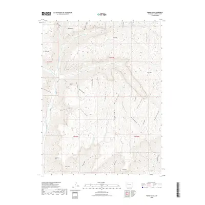
2019 Map of Forked Gulch
USGS Topo · Published 2019About this map
Schoolhouse Point and Lindauer Point rise above a landscape defined by an intricate network of drainages and named points in this section of Garfield County. The terrain is deeply incised by canyons and gulches, ranging from Bear Cabin Gulch in the north to the converging West Forked, Forked Gulch, and East Forked Gulch toward the south. These features suggest a high-elevation plateau environment where water management and topographical landmarks were critical for navigation and land use.
Find a feature on this map
54 named features on this map. Tap any name to fly to it.
Don’t see what you’re looking for? This feature index may not catch every label — zoom into the map to look around manually.
Map Details
Editions of this 2019 Forked Gulch Map
This is the sole edition of this map. No revisions or reprints were ever made.
Other maps of this area

1906 · Grand Hogback
USGS Topo · 1:125,000

1910 · Grand Hogback
USGS Topo · 1:125,000

1925 · Parachute Creek
USGS Topo · 1:62,500

1927 · Parachute Creek
USGS Topo · 1:62,500

1929 · Grand Valley
USGS Topo · 1:62,500

1952 · Rio Blanco
USGS Topo · 1:24,000

1952 · Anvil Points
USGS Topo · 1:24,000

1956 · Grand Junction
USGS Topo · 1:250,000

1957 · Leadville
USGS Topo · 1:250,000

1959 · Grand Junction
USGS Topo · 1:250,000