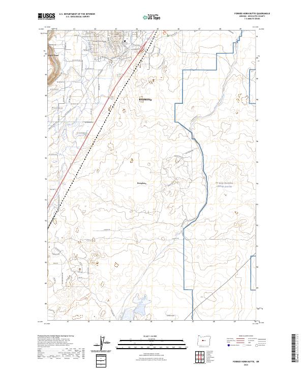
2024 Map of Forked Horn Butte
USGS Topo · Published 2024About this map
Forked Horn Butte stands as the central topographical landmark in this high desert landscape of Deschutes County, where modern residential development meets historical transport routes. The western edge follows the winding Deschutes River near Eagle Crest, while the southern reaches preserve a segment of the Huntington Wagon Trl, a vital historical artery for early settlers in the region.
Find a feature on this map
56 named features on this map. Tap any name to fly to it.
Don’t see what you’re looking for? This feature index may not catch every label — zoom into the map to look around manually.
Map Details
Editions of this 2024 Forked Horn Butte Map
This is the sole edition of this map. No revisions or reprints were ever made.
Other maps of this area

1926 · Bend
USGS Topo · 1:125,000

1929 · Bend
USGS Topo · 1:125,000

1955 · Bend
USGS Topo · 1:250,000

1957 · Bend
USGS Topo · 1:250,000

1958 · Bend
USGS Topo · 1:250,000

1961 · Redmond
USGS Topo · 1:24,000

1962 · Forked Horn Butte
USGS Topo · 1:24,000
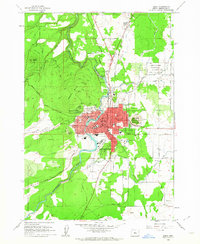
1962 · Bend
USGS Topo · 1:24,000

1962 · Oneil
USGS Topo · 1:24,000
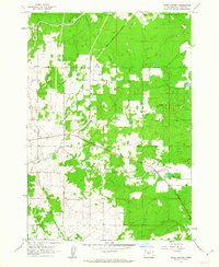
1962 · Bend Airport
USGS Topo · 1:24,000