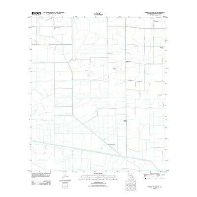
2012 Map of Forked Island NW
USGS Topo · Published 2012About this map
The settlement of Marceaux serves as a central point in this Vermilion Parish landscape, where the agricultural grid is defined by a dense network of parish and local roads. The area's economic history is etched into the terrain through extensive energy infrastructure, including the Southeast Gueydan Gas Field, Florence Gas Field, and South Kaplan Gas Field. These industrial features sit alongside local landmarks like Tee Brad's Airport, illustrating the multi-layered use of the coastal prairie.
Find a feature on this map
48 named features on this map. Tap any name to fly to it.
Don’t see what you’re looking for? This feature index may not catch every label — zoom into the map to look around manually.
Map Details
Editions of this 2012 Forked Island NW Map
This is the sole edition of this map. No revisions or reprints were ever made.
Other maps of this area

1946 · Morse
USGS Topo · 1:31,680

1946 · Schooner Bayou SE
USGS Topo · 1:31,680

1946 · Schooner Bayou NE
USGS Topo · 1:31,680

1946 · Schooner Bayou NW
USGS Topo · 1:31,680

1946 · Kaplan
USGS Topo · 1:31,680

1946 · Schooner Bayou SW
USGS Topo · 1:31,680

1949 · Gueydan
USGS Topo · 1:31,680

1952 · Lake Charles
USGS Topo · 1:250,000

1953 · Jacks Point Island
USGS Topo · 1:24,000

1954 · Grand Lake East SE
USGS Topo · 1:31,680