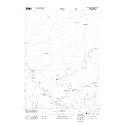
2012 Map of Forks of Salmon
USGS Topo · Published 2012About this map
Forks of Salmon marks the confluence of the N Fork Salmon River and S Fork Salmon River in this detailed 2012 study of Siskiyou County. The landscape is defined by the legacy of river-based settlement, evidenced by numerous terrace flats and bars such as Nordheimer Flat, Knudsen Bar, and Fong Wah Bar. These names often reflect the diverse history of the region’s early inhabitants and miners.
Find a feature on this map
57 named features on this map. Tap any name to fly to it.
Don’t see what you’re looking for? This feature index may not catch every label — zoom into the map to look around manually.
Map Details
Editions of this 2012 Forks of Salmon Map
This is the sole edition of this map. No revisions or reprints were ever made.
Other maps of this area
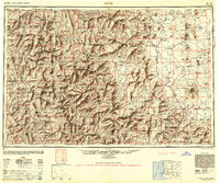
1948 · Weed
USGS Topo · 1:250,000
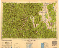
1950 · Weed
USGS Topo · 1:250,000
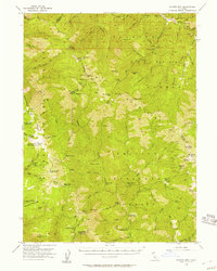
1955 · Salmon Mtn
USGS Topo · 1:62,500
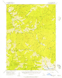
1955 · Cecilville
USGS Topo · 1:62,500
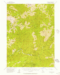
1955 · Sawyers Bar
USGS Topo · 1:62,500
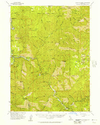
1955 · Forks of Salmon
USGS Topo · 1:62,500
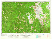
1958 · Weed
USGS Topo · 1:250,000
1963 · Weed
USGS Topo · 1:250,000
1974 · Orleans Mtn.
USGS Topo · 1:24,000
1977 · English Peak
USGS Topo · 1:24,000