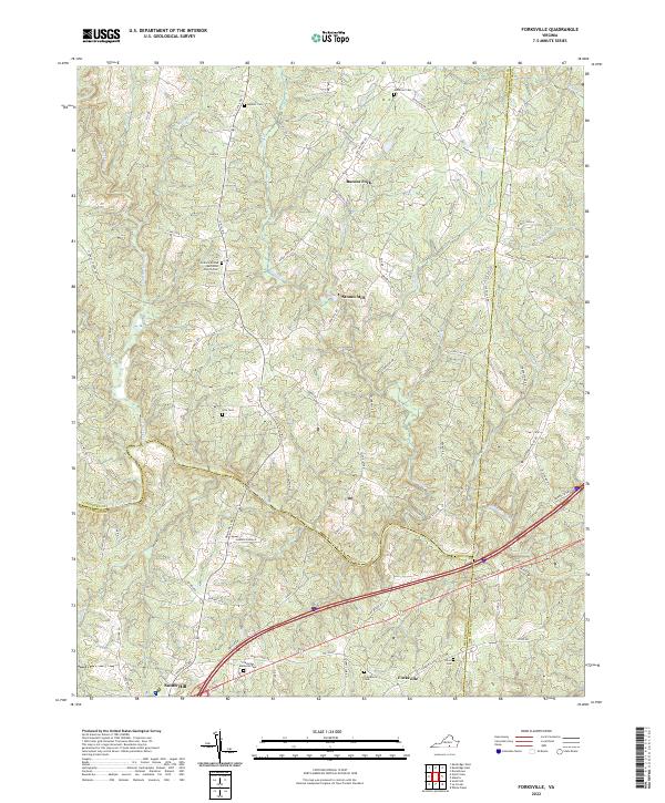
2022 Map of Forksville
USGS Topo · Published 2022About this map
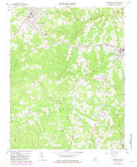
The Meherrin River meanders across the southern portion of this landscape, marking the natural boundary where Lunenburg and Mecklenburg counties meet. The terrain is defined by a dense network of tributaries including Stony Creek, Kettlesticks Creek, and Flat Rock Creek, which carve through the rural countryside. Small crossroads communities and historical hubs such as Stones Mill and Bacons Fork anchor the northern sections, while the northern edge of South Hill appears in the southwest. For genealogists, the map is a significant record of local family and community history, preserving the locations of numerous burial grounds such as Neblett Cem, McDaniel Cem, and Hite Cem. The namesake settlement of Forksville sits near the intersection of modern transit and older rural routes, illustrating the gradual evolution of Southside Virginia's transportation network.
Find a feature on this map
84 named features on this map. Tap any name to fly to it.
Don’t see what you’re looking for? This feature index may not catch every label — zoom into the map to look around manually.
Map Details
Editions of this 2022 Forksville Map
This is the sole edition of this map. No revisions or reprints were ever made.
Historical Maps of Forksville Through Time
14 maps found
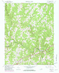
1966 Forksville
Lunenburg County, VA
1966 Fort Mitchell
Lunenburg County, VA
1966 Kenbridge East
Lunenburg County, VA
1966 Kenbridge West
Lunenburg County, VA
1966 North View
Lunenburg County, VA
1968 Meherrin
Lunenburg County, VA
1968 Rubermont
Lunenburg County, VA
2022 Forksville
Lunenburg County, VA
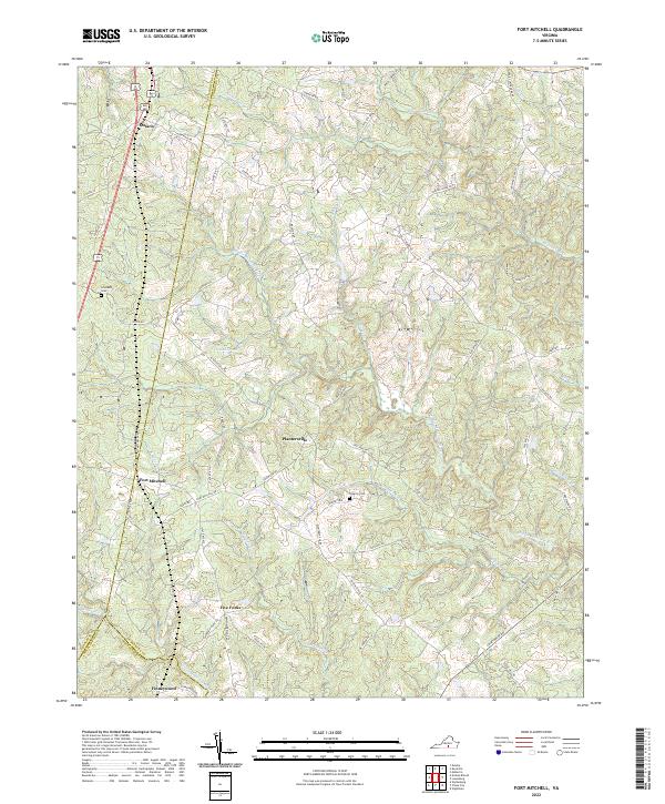
2022 Fort Mitchell
Lunenburg County, VA
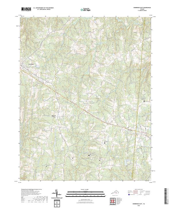
2022 Kenbridge East
Lunenburg County, VA
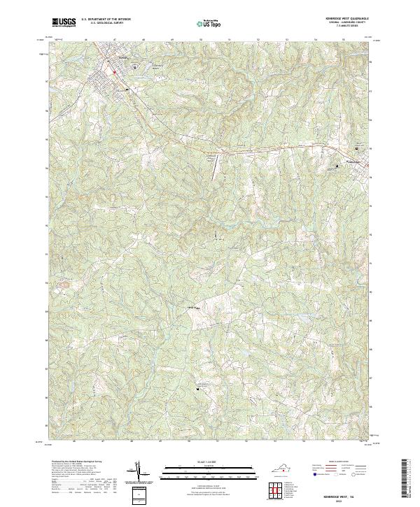
2022 Kenbridge West
Lunenburg County, VA
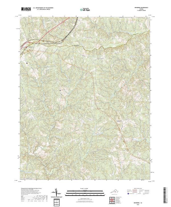
2022 Meherrin
Lunenburg County, VA
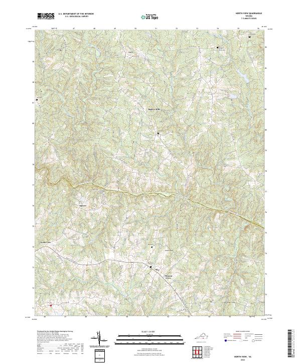
2022 North View
Lunenburg County, VA
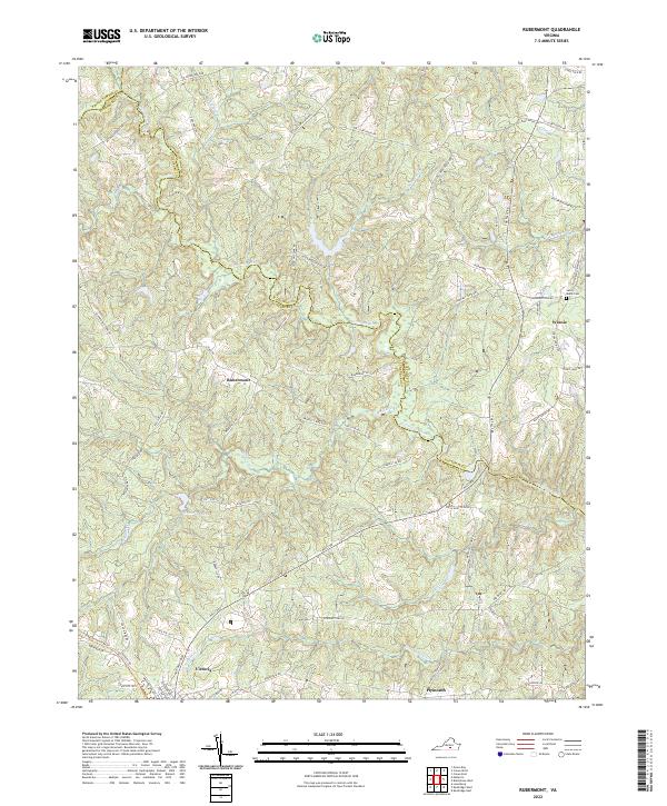
2022 Rubermont
Lunenburg County, VA