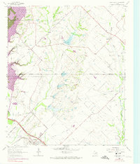
1963 Map of Forney North
USGS Topo · Published 1974About this map
Lake Ray Hubbard dominates the northwest corner of this landscape, its controlled inundation areas marking the edge of a rapidly changing North Texas frontier. Just south of the Rockwall and Kaufman County line, the small settlement of Heath sits at a junction of roads leading toward the East Fork Trinity River. The southern portion of the sheet is anchored by Forney, where the Texas and Pacific railroad tracks bisect the town center, signaling the area's importance as a shipping point for the surrounding blackland prairies.
Find a feature on this map
30 named features on this map. Tap any name to fly to it.
Don’t see what you’re looking for? This feature index may not catch every label — zoom into the map to look around manually.
Map Details
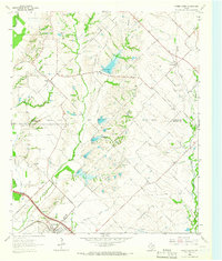
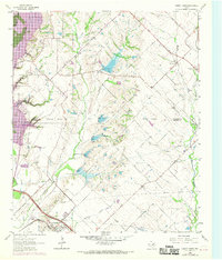
Editions of this 1963 Forney North Map
Other maps of this area

1891 · Dallas
USGS Topo · 1:125,000

1893 · Dallas
USGS Topo · 1:125,000

1912 · Rockwall
USGS Topo · 1:31,680

1919 · Royse City
USGS Topo · 1:62,500

1954 · Dallas
USGS Topo · 1:250,000

1956 · Kaufman
USGS Topo · 1:62,500

1958 · Dallas
USGS Topo · 1:250,000

1959 · Mesquite
USGS Topo · 1:24,000

1959 · Seagoville
USGS Topo · 1:24,000
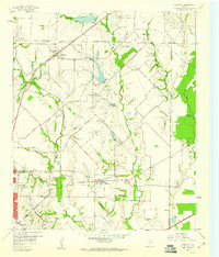
1959 · Rowlett
USGS Topo · 1:24,000