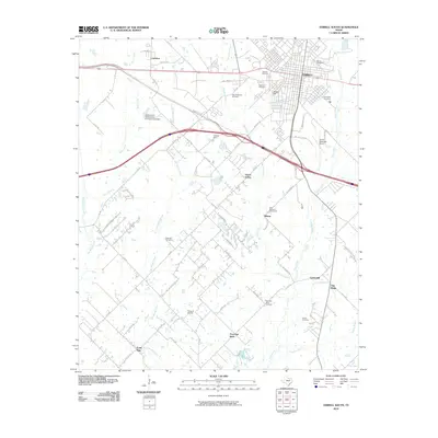
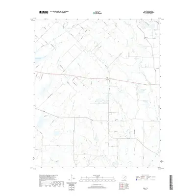
1962 Map of Ola
USGS Topo · Published 1982About this map
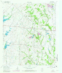
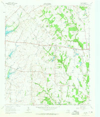
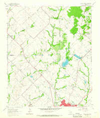
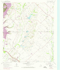
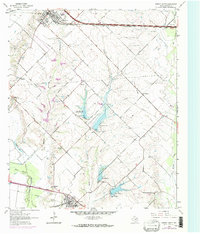
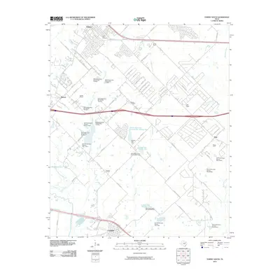
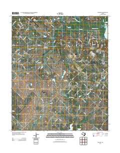
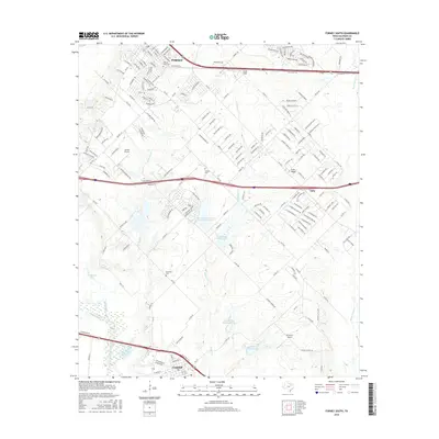
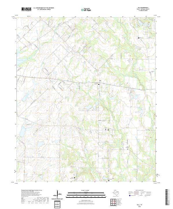
Ola and Rand anchor this rural Kaufman County landscape, captured in a period of transition as water management infrastructure began to reshape the terrain. The presence of Dam No 76 and Dam No 77a alongside the newly formed Lake Kaufman illustrates the mid-century effort to control local watersheds like Little Cottonwood Creek and Cottonwood Creek. These developments contrast with the long-established social fabric of the area, represented by numerous country churches and burial grounds such as Morrow Chapel Cem, Red Oak Ch, and Ayers Chapel. To the south, the community of Becker sits near the winding banks of Walnut Creek, while industry is evident in the Gravel Pit and various Sandpits located near the northern boundary. The map effectively documents the intersection of traditional Texas farm life with modern engineering projects designed to manage the state's hydraulic resources.
Find a feature on this map
25 named features on this map. Tap any name to fly to it.
Don’t see what you’re looking for? This feature index may not catch every label — zoom into the map to look around manually.
Map Details
Editions of this 1962 Ola Map
2 editions found
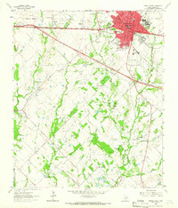
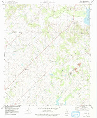
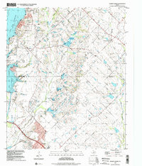
Historical Maps of Ola Through Time
37 maps found
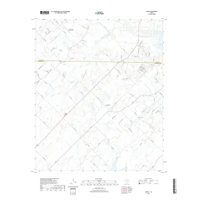
1962 Ola
Kaufman County, TX
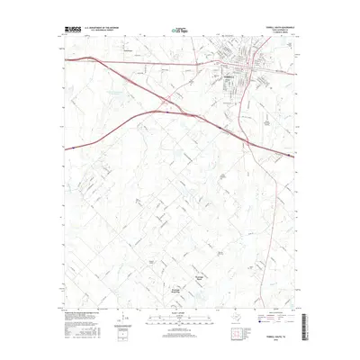
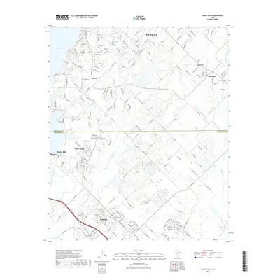
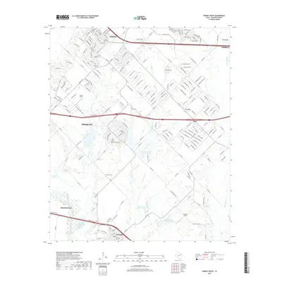
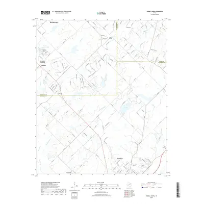
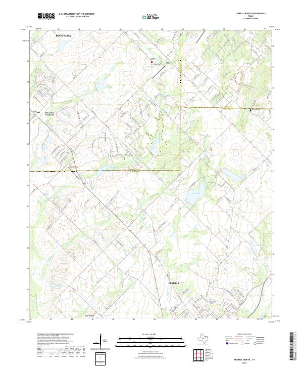
1962 Terrell North
Kaufman County, TX
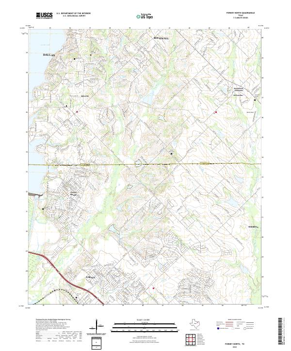
1963 Forney North
Kaufman County, TX
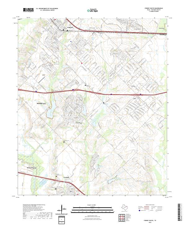
1963 Forney South
Kaufman County, TX
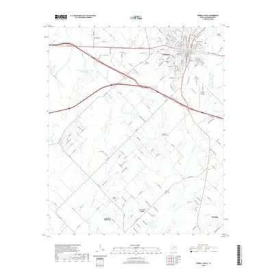
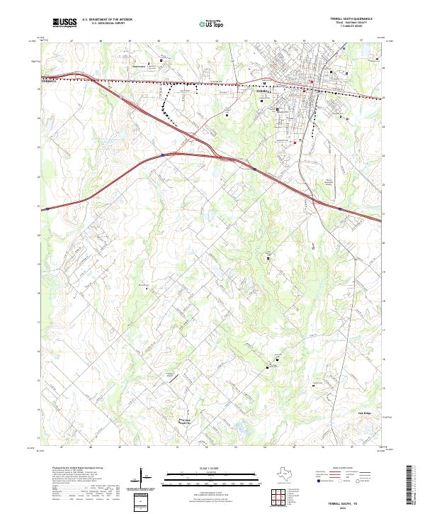
1963 Terrell South
Kaufman County, TX
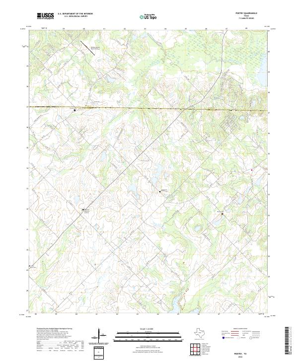
1980 Poetry
Kaufman County, TX
1995 Forney North
Kaufman County, TX
2010 Forney South
Kaufman County, TX
2010 Ola
Kaufman County, TX
2010 Poetry
Kaufman County, TX
2010 Terrell North
Kaufman County, TX
2010 Terrell South
Kaufman County, TX

2011 Forney North
Kaufman County, TX
2012 Forney North
Kaufman County, TX
2012 Forney South
Kaufman County, TX
2012 Ola
Kaufman County, TX
2012 Poetry
Kaufman County, TX
2012 Terrell North
Kaufman County, TX
2012 Terrell South
Kaufman County, TX
2016 Forney North
Kaufman County, TX
2016 Forney South
Kaufman County, TX
2016 Ola
Kaufman County, TX
2016 Poetry
Kaufman County, TX
2016 Terrell North
Kaufman County, TX
2016 Terrell South
Kaufman County, TX
2019 Forney North
Kaufman County, TX
2019 Forney South
Kaufman County, TX
2019 Ola
Kaufman County, TX
2019 Poetry
Kaufman County, TX
2019 Terrell North
Kaufman County, TX
2019 Terrell South
Kaufman County, TX
2022 Forney North
Kaufman County, TX
2022 Forney South
Kaufman County, TX
2022 Ola
Kaufman County, TX
2022 Poetry
Kaufman County, TX
2022 Terrell North
Kaufman County, TX
2022 Terrell South
Kaufman County, TX