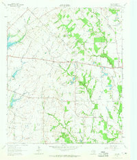
1962 Map of Ola
USGS Topo · Published 1965About this map
Ola and Rand anchor this rural landscape in Kaufman County during the early 1960s, a period defined by scattered agricultural settlements and small country parishes. The mapping reveals a close-knit network of spiritual and community life, centered on institutions like Morrow Chapel and its adjacent Morrow Chapel Cem, as well as Ayers Chapel and Red Oak Ch. The topography is shaped by the drainage patterns of Little Cottonwood Creek and Walnut Creek, with Lake Kaufman appearing in the west. Small-scale resource extraction is evident through several Sandpits and a Gravel Pit, suggesting local industry alongside traditional farming. This survey provides a clear look at the region's mid-century rural development before modern expansion altered the footprint of these smaller crossroads communities.
Find a feature on this map
17 named features on this map. Tap any name to fly to it.
Don’t see what you’re looking for? This feature index may not catch every label — zoom into the map to look around manually.
Map Details
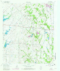
Editions of this 1962 Ola Map
2 editions found
Other maps of this area

1920 · Kemp
USGS Topo · 1:62,500

1954 · Dallas
USGS Topo · 1:250,000

1956 · Kaufman
USGS Topo · 1:62,500

1957 · Kemp
USGS Topo · 1:62,500

1958 · Dallas
USGS Topo · 1:250,000

1960 · Grays Prairie
USGS Topo · 1:24,000

1961 · Kemp
USGS Topo · 1:24,000

1962 · Prairieville
USGS Topo · 1:24,000

1962 · Elmo
USGS Topo · 1:24,000

1962 · Cedarvale
USGS Topo · 1:24,000