
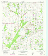
1962 Map of Cedarvale
USGS Topo · Published 1965About this map
Cedar Creek and Caney Creek wind through the pastoral landscape of western Van Zandt County on this 1962 survey. The area is defined by small, dispersed rural settlements and local institutions, including Cedarvale and the Fairview Community Center. For genealogists, the map preserves the exact locations of country churches such as North Bouie Ch, South Bouie Ch, and Wesley Chapel, along with the Heidle Cem.
Find a feature on this map
24 named features on this map. Tap any name to fly to it.
Don’t see what you’re looking for? This feature index may not catch every label — zoom into the map to look around manually.
Map Details
Editions of this 1962 Cedarvale Map
2 editions found
Other maps of this area

1920 · Kemp
USGS Topo · 1:62,500

1948 · Martins Mill
USGS Topo · 1:62,500

1949 · Martins Mill
USGS Topo · 1:62,500

1954 · Dallas
USGS Topo · 1:250,000

1956 · Tyler
USGS Topo · 1:250,000

1957 · Kemp
USGS Topo · 1:62,500

1958 · Dallas
USGS Topo · 1:250,000

1961 · Kemp
USGS Topo · 1:24,000

1962 · Myrtle Springs
USGS Topo · 1:24,000

1962 · Prairieville
USGS Topo · 1:24,000