
1962 Map of Myrtle Springs
USGS Topo · Published 1965About this map
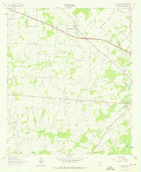
The community of Myrtle Springs sits at the intersection of local routes in this pocket of Van Zandt County during the early 1960s. The landscape is defined by an intricate network of waterways, including Lacy Fork, Caney Creek, and Britton Creek, which drain the rolling terrain between Rock Hill and the town of Canton to the southeast. The map reveals a rural economy transitioning with the era, showing evidence of natural resource extraction through a Gas Well, Sandpit, and several borrow pits.
Find a feature on this map
35 named features on this map. Tap any name to fly to it.
Don’t see what you’re looking for? This feature index may not catch every label — zoom into the map to look around manually.
Map Details
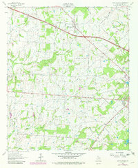
Editions of this 1962 Myrtle Springs Map
3 editions found
Other maps of this area

1920 · Kemp
USGS Topo · 1:62,500

1948 · Martins Mill
USGS Topo · 1:62,500

1949 · Martins Mill
USGS Topo · 1:62,500

1954 · Dallas
USGS Topo · 1:250,000

1956 · Tyler
USGS Topo · 1:250,000

1957 · Kemp
USGS Topo · 1:62,500

1958 · Dallas
USGS Topo · 1:250,000

1962 · Prairieville
USGS Topo · 1:24,000

1962 · Cedarvale
USGS Topo · 1:24,000

1962 · Wills Point
USGS Topo · 1:24,000