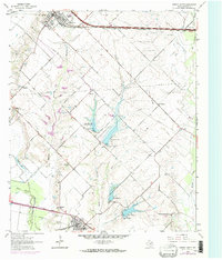
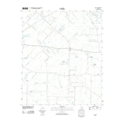
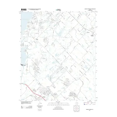
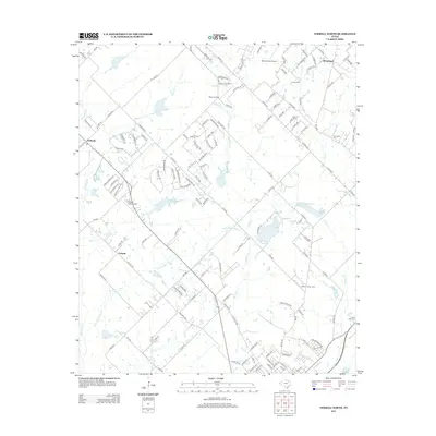
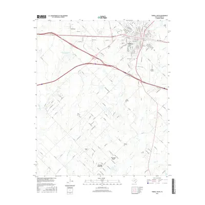
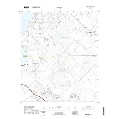
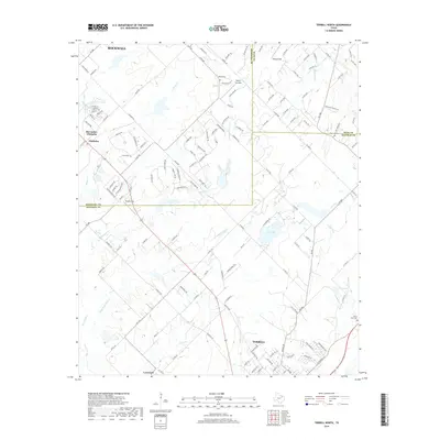
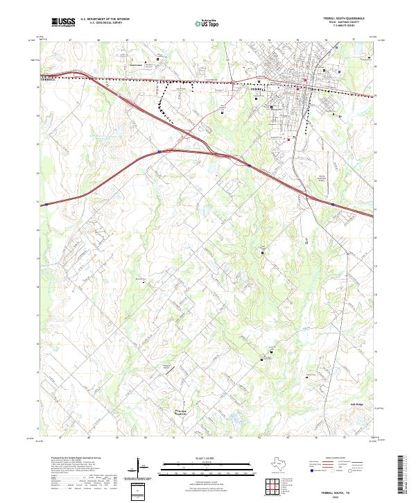
1963 Map of Terrell South
USGS Topo · Published 1965About this map
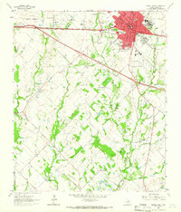
The growing city of Terrell serves as the focal point for this early 1960s survey, showing a landscape defined by significant infrastructure and institutional expansion. The Texas and Pacific railroad bisects the terrain, running parallel to highways like the 4 Lane corridor and sections of 4 Lane Under Construction, indicating a period of rapid transit development. Beyond the city limits, a network of family-named settlements and rural institutions persists, including Union Valley, Post Oak Bend, and the campus of Southwestern Christian College.
Find a feature on this map
53 named features on this map. Tap any name to fly to it.
Don’t see what you’re looking for? This feature index may not catch every label — zoom into the map to look around manually.
Map Details
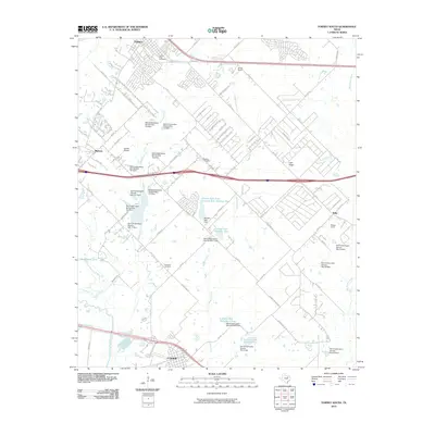
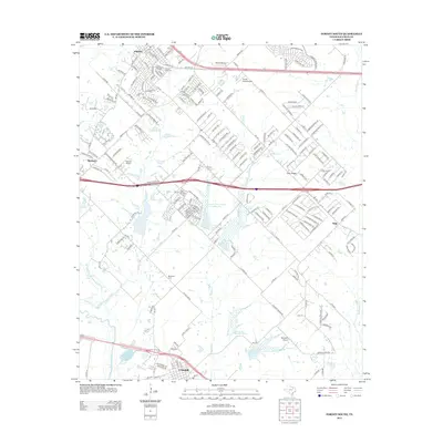
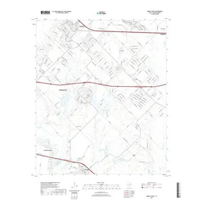
Editions of this 1963 Terrell South Map
This is the sole edition of this map. No revisions or reprints were ever made.
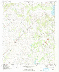
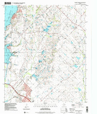
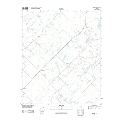
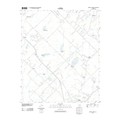
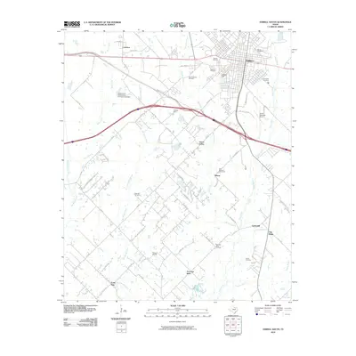
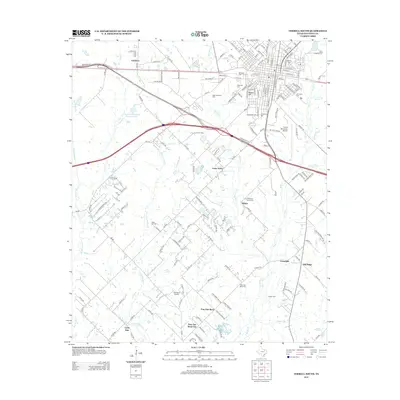
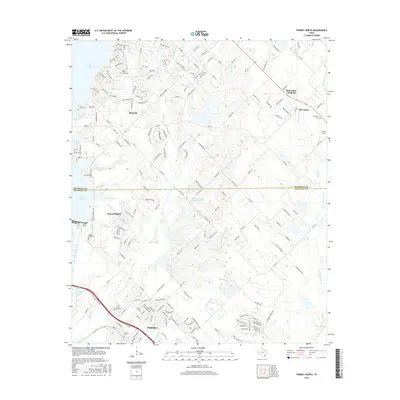
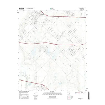
Historical Maps of Terrell Through Time
37 maps found
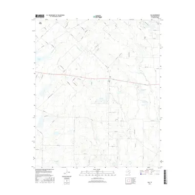
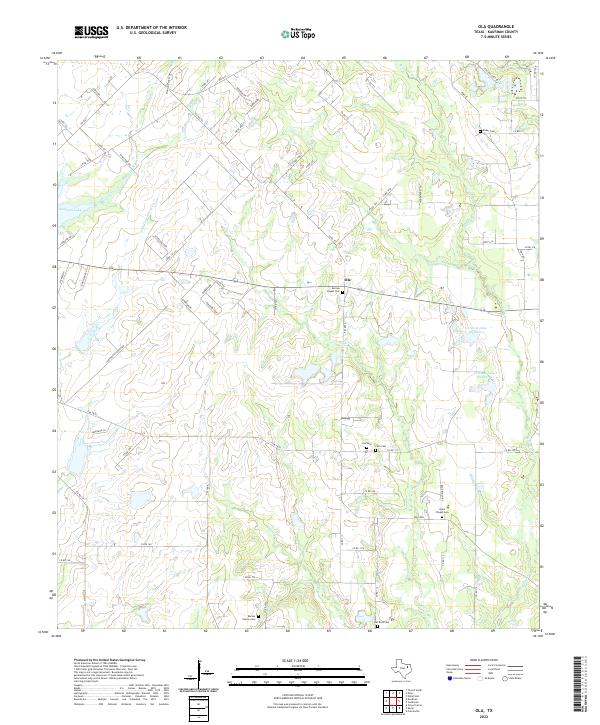
1962 Ola
Kaufman County, TX
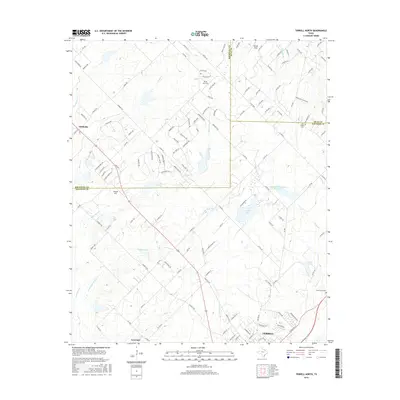
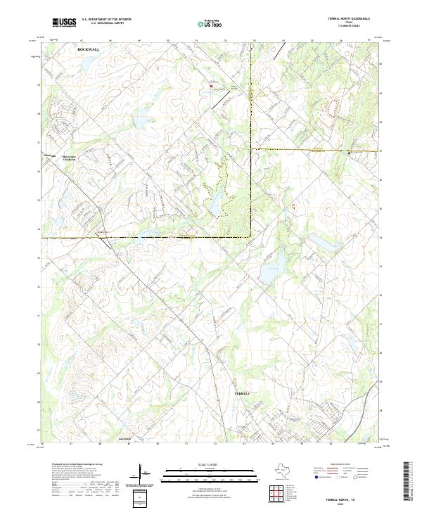
1962 Terrell North
Kaufman County, TX
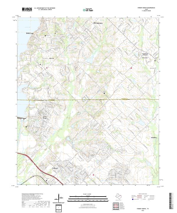
1963 Forney North
Kaufman County, TX
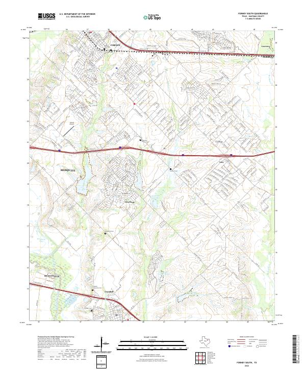
1963 Forney South
Kaufman County, TX
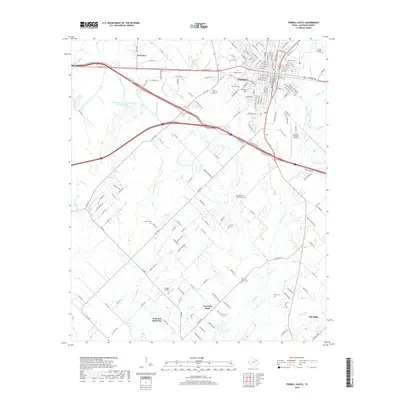
1963 Terrell South
Kaufman County, TX
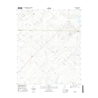
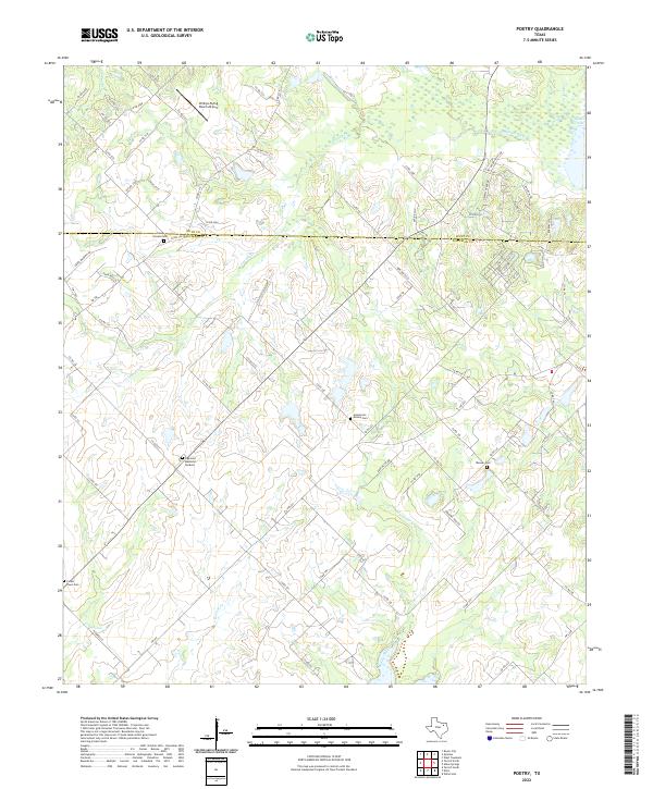
1980 Poetry
Kaufman County, TX
1995 Forney North
Kaufman County, TX
2010 Forney South
Kaufman County, TX
2010 Ola
Kaufman County, TX
2010 Poetry
Kaufman County, TX
2010 Terrell North
Kaufman County, TX
2010 Terrell South
Kaufman County, TX

2011 Forney North
Kaufman County, TX
2012 Forney North
Kaufman County, TX
2012 Forney South
Kaufman County, TX
2012 Ola
Kaufman County, TX
2012 Poetry
Kaufman County, TX
2012 Terrell North
Kaufman County, TX
2012 Terrell South
Kaufman County, TX
2016 Forney North
Kaufman County, TX
2016 Forney South
Kaufman County, TX
2016 Ola
Kaufman County, TX
2016 Poetry
Kaufman County, TX
2016 Terrell North
Kaufman County, TX
2016 Terrell South
Kaufman County, TX
2019 Forney North
Kaufman County, TX
2019 Forney South
Kaufman County, TX
2019 Ola
Kaufman County, TX
2019 Poetry
Kaufman County, TX
2019 Terrell North
Kaufman County, TX
2019 Terrell South
Kaufman County, TX
2022 Forney North
Kaufman County, TX
2022 Forney South
Kaufman County, TX
2022 Ola
Kaufman County, TX
2022 Poetry
Kaufman County, TX
2022 Terrell North
Kaufman County, TX
2022 Terrell South
Kaufman County, TX