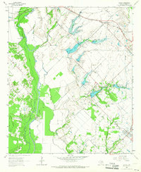
1962 Map of Scurry
USGS Topo · Published 1966About this map
The East Fork Trinity River landscape in the early 1960s was defined by a complex network of flood control structures and traditional agricultural settlements. A series of numbered lateral reservoirs, including Lateral Site No 10 and Lateral Site No 11, highlight mid-century efforts to manage the river's basin. To the northeast, Scurry and Gastonia anchor the rural landscape, while Crandall sits at the northern edge along the Southern Pacific railroad line. Local history is preserved in landmarks such as Mt Olive Cem and Pleasant Grove Ch. The map also captures recreation and industry of the era, from the Thunderbird Racetrack near the river bluffs to the Gravel Pit operations. Distinctive terrain features like White House Ridge and Rainbow Ridge rise above the alluvial bottomlands of Pecan Slough and the Bois d'Arc Slough.
Find a feature on this map
28 named features on this map. Tap any name to fly to it.
Don’t see what you’re looking for? This feature index may not catch every label — zoom into the map to look around manually.
Map Details
Editions of this 1962 Scurry Map
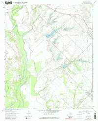
2 editions found
Other maps of this area

1891 · Dallas
USGS Topo · 1:125,000

1893 · Dallas
USGS Topo · 1:125,000

1954 · Dallas
USGS Topo · 1:250,000

1956 · Ennis
USGS Topo · 1:62,500

1956 · Kaufman
USGS Topo · 1:62,500

1958 · Dallas
USGS Topo · 1:250,000

1959 · Seagoville
USGS Topo · 1:24,000

1959 · India
USGS Topo · 1:24,000

1959 · Seagoville
USGS Topo · 1:62,500

1960 · Grays Prairie
USGS Topo · 1:24,000