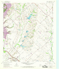
1963 Map of Forney North
USGS Topo · Published 1969About this map
The East Fork Trinity River floodplain dominates this landscape at a time of significant transition for Kaufman and Rockwall counties. While the 1963 data shows a rural expanse defined by Mustang Creek and Buffalo Creek, the 1968 photorevisions document the rising waters of Lake Ray Hubbard, which began to reshape the western boundary. This survey captures the traditional agricultural layout before suburban expansion, centering on the small settlements of Heath and Mc Lendon.
Find a feature on this map
29 named features on this map. Tap any name to fly to it.
Don’t see what you’re looking for? This feature index may not catch every label — zoom into the map to look around manually.
Map Details
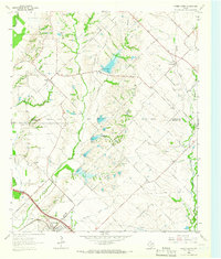
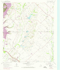
Editions of this 1963 Forney North Map
Other maps of this area

1891 · Dallas
USGS Topo · 1:125,000

1893 · Dallas
USGS Topo · 1:125,000

1912 · Rockwall
USGS Topo · 1:31,680

1919 · Royse City
USGS Topo · 1:62,500

1954 · Dallas
USGS Topo · 1:250,000

1956 · Kaufman
USGS Topo · 1:62,500

1958 · Dallas
USGS Topo · 1:250,000

1959 · Mesquite
USGS Topo · 1:24,000

1959 · Seagoville
USGS Topo · 1:24,000
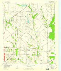
1959 · Rowlett
USGS Topo · 1:24,000