
1959 Map of Mesquite
USGS Topo · Published 1960About this map
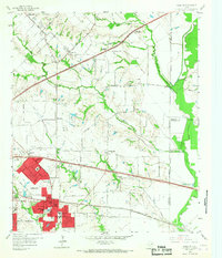
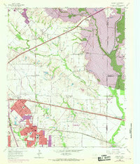
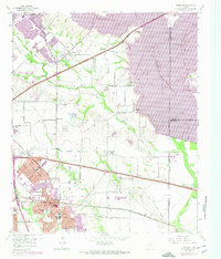
The expanding residential core of Mesquite and Sunnyvale is captured during a transformative period of postwar suburban growth. While the western edge shows the densifying street grids of neighborhoods near Wildwood, the eastern portions retain a rural character defined by the winding East Fork Trinity River and scattered family-named outposts. The landscape is a mix of traditional agriculture and new infrastructure, with the Texas and Pacific Railroad and newly formed interchanges like the Zion Road Interchange signaling the era's rapid transit developments.
Find a feature on this map
75 named features on this map. Tap any name to fly to it.
Don’t see what you’re looking for? This feature index may not catch every label — zoom into the map to look around manually.
Map Details
Editions of this 1959 Mesquite Map
4 editions found
Other maps of this area

1891 · Dallas
USGS Topo · 1:125,000

1893 · Dallas
USGS Topo · 1:125,000

1912 · Rockwall
USGS Topo · 1:31,680

1919 · Royse City
USGS Topo · 1:62,500

1954 · Dallas
USGS Topo · 1:250,000

1956 · Kaufman
USGS Topo · 1:62,500

1957 · White Rock Lake
USGS Topo · 1:24,000

1958 · Dallas
USGS Topo · 1:250,000

1958 · Hutchins
USGS Topo · 1:24,000

1958 · White Rock Lake
USGS Topo · 1:24,000