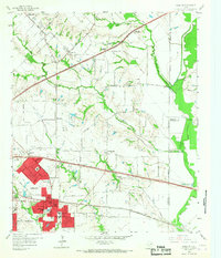
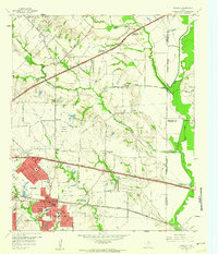
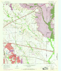
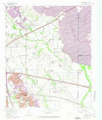
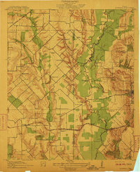
1959 Map of Mesquite
USGS Topo · Published 1967About this map
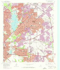
The Texas and Pacific Railroad and the World War II Highway cut through this Dallas County landscape, documenting the rapid mid-century transition from rural ranching to suburban expansion. While Mesquite and Garland show significant development, older agrarian centers like Tripp and New Hope remain distinct, anchored by local institutions such as Long Creek Ch and Lyons Cem. The geography is defined by the winding course of Duck Creek and Rowlett Creek leading toward the East Fork Trinity River, where the E-S Ranch and several gravel pits sit near the floodplains.
Find a feature on this map
51 named features on this map. Tap any name to fly to it.
Don’t see what you’re looking for? This feature index may not catch every label — zoom into the map to look around manually.
Map Details
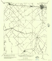
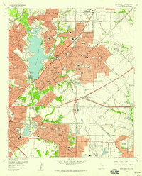
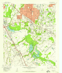
Editions of this 1959 Mesquite Map
4 editions found
Other maps of this area

1891 · Dallas
USGS Topo · 1:125,000

1893 · Dallas
USGS Topo · 1:125,000
1912 · Rockwall
USGS Topo · 1:31,680

1919 · Royse City
USGS Topo · 1:62,500

1954 · Dallas
USGS Topo · 1:250,000
1956 · Kaufman
USGS Topo · 1:62,500
1957 · White Rock Lake
USGS Topo · 1:24,000

1958 · Dallas
USGS Topo · 1:250,000
1958 · Hutchins
USGS Topo · 1:24,000
1958 · White Rock Lake
USGS Topo · 1:24,000