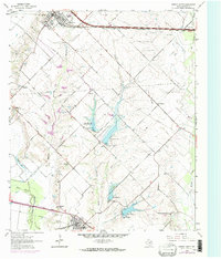
1963 Map of Forney South
USGS Topo · Published 1974About this map
The agricultural landscape of Kaufman County unfolds across this survey, anchored by the northern reaches of Crandall and the southern edge of Forney. The terrain is defined by a dense network of tributaries including Mustang Creek, Buffalo Creek, and Big Brushy Creek, which drain toward the East Fork Trinity River in the southwest corner. The map documents a transition in water management through a series of flood control structures identified as Lower East Fork Lateral Site No 1 and its successors.
Find a feature on this map
33 named features on this map. Tap any name to fly to it.
Don’t see what you’re looking for? This feature index may not catch every label — zoom into the map to look around manually.
Map Details
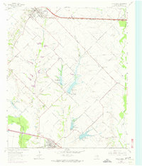
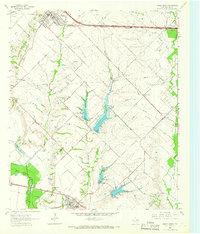
Editions of this 1963 Forney South Map
Other maps of this area

1891 · Dallas
USGS Topo · 1:125,000

1893 · Dallas
USGS Topo · 1:125,000

1919 · Royse City
USGS Topo · 1:62,500

1954 · Dallas
USGS Topo · 1:250,000

1956 · Kaufman
USGS Topo · 1:62,500

1958 · Dallas
USGS Topo · 1:250,000

1959 · Mesquite
USGS Topo · 1:24,000

1959 · Seagoville
USGS Topo · 1:24,000

1959 · India
USGS Topo · 1:24,000

1959 · Seagoville
USGS Topo · 1:62,500