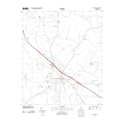
2011 Map of Forsyth
USGS Topo · Published 2011About this map
Forsyth serves as the focal point of this Monroe County landscape, anchored by the Forsyth Post Office and the central Forsyth City Cemetery. The town's industrial and residential growth is evidenced by developments like Brighton Mills and Brighton Heights, while smaller outlying settlements such as Maynard, Logwall, and the curiously named Box Ankle define the rural periphery.
Find a feature on this map
81 named features on this map. Tap any name to fly to it.
Don’t see what you’re looking for? This feature index may not catch every label — zoom into the map to look around manually.
Map Details
Editions of this 2011 Forsyth Map
This is the sole edition of this map. No revisions or reprints were ever made.
Other maps of this area

1951 · Yatesville
USGS Topo · 1:62,500

1951 · Forsyth
USGS Topo · 1:62,500

1951 · Barnesville
USGS Topo · 1:62,500

1953 · Atlanta
USGS Topo · 1:250,000

1953 · Athens
USGS Topo · 1:250,000

1955 · Phenix City
USGS Topo · 1:250,000

1956 · Bolingbroke
USGS Topo · 1:62,500

1957 · Phenix City
USGS Topo · 1:250,000

1957 · Macon
USGS Topo · 1:250,000

1957 · Atlanta
USGS Topo · 1:250,000