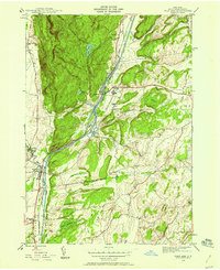
1944 Map of Fort Ann
USGS Topo · Published 1958About this map
Battle Hill and the surrounding heights of the Taconic range overlook a strategic valley in Washington County where the Hudson River and Champlain Canal meets the Barge Canal. This mid-century landscape is defined by the heavy infrastructure of the Delaware and Hudson railroad and the State Prison near Comstock. While the rugged terrain of Quebec Hill and The Pinnacle dominates the west, the eastern lowlands show a more settled pattern of agriculture and small-town life. Local history researchers can find specific genealogical landmarks such as Welch Hollow Cem and Baker Cem, along with rural education sites like Rathbunville Sch and School No 18. The map documents the village of Fort Ann just as the post-war era began, capturing the tight relationship between the river, the rail lines, and the older roads like Kane Falls Road.
Find a feature on this map
29 named features on this map. Tap any name to fly to it.
Don’t see what you’re looking for? This feature index may not catch every label — zoom into the map to look around manually.
Map Details
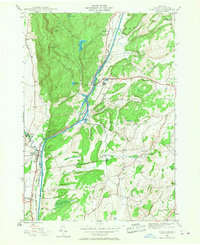
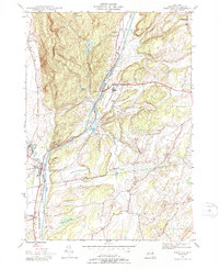
Editions of this 1944 Fort Ann Map
3 editions found
Other maps of this area

1893 · Fort Ann
USGS Topo · 1:62,500

1893 · Whitehall
USGS Topo · 1:62,500

1895 · Whitehall
USGS Topo · 1:62,500

1895 · Fort Ann
USGS Topo · 1:62,500

1895 · Glens Falls
USGS Topo · 1:62,500

1897 · Bolton
USGS Topo · 1:62,500

1897 · Glens Falls
USGS Topo · 1:62,500

1898 · Whitehall
USGS Topo · 1:62,500

1898 · Fort Ann
USGS Topo · 1:62,500

1900 · Bolton
USGS Topo · 1:62,500