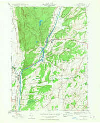
1944 Map of Fort Ann
USGS Topo · Published 1968About this map
The Champlain Canal and Hudson River corridor serves as the primary artery through this Washington County landscape, where the town of Fort Ann sits at a critical junction of water and rail transport. Along the eastern banks of the canal, the Great Meadows State Prison occupies a significant portion of the Great Meadows near the village of Comstock. This 1944 survey illustrates the industrial and institutional infrastructure of the era, defined by the Delaware and Hudson RR and State Highway 22 which parallel the historic waterway.
Find a feature on this map
33 named features on this map. Tap any name to fly to it.
Don’t see what you’re looking for? This feature index may not catch every label — zoom into the map to look around manually.
Map Details
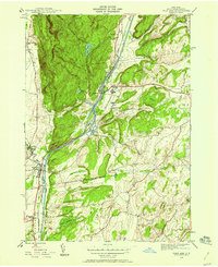
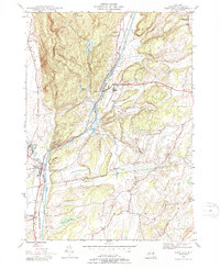
Editions of this 1944 Fort Ann Map
3 editions found
Other maps of this area

1893 · Fort Ann
USGS Topo · 1:62,500

1893 · Whitehall
USGS Topo · 1:62,500

1895 · Whitehall
USGS Topo · 1:62,500

1895 · Fort Ann
USGS Topo · 1:62,500

1895 · Glens Falls
USGS Topo · 1:62,500

1897 · Bolton
USGS Topo · 1:62,500

1897 · Glens Falls
USGS Topo · 1:62,500

1898 · Whitehall
USGS Topo · 1:62,500

1898 · Fort Ann
USGS Topo · 1:62,500

1900 · Bolton
USGS Topo · 1:62,500