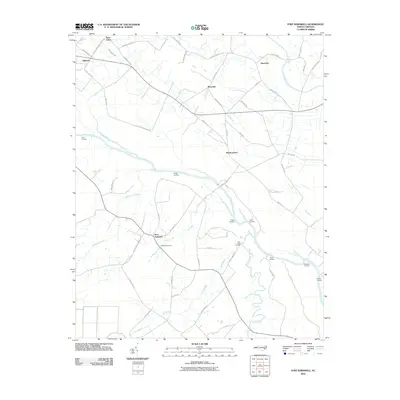
2010 Map of Fort Barnwell
USGS Topo · Published 2010About this map
Fort Barnwell and the surrounding coastal plain of eastern North Carolina define this landscape, where the Neuse River winds through a network of creeks and swamps. The area's riverine heritage is evident in the numerous historical points of access, including Biddle Landing, Pitchkettle Landing, and Dudley Landing. These sites, alongside settlements like Maplecypress and Honolulu, reflect a community deeply tied to the waterways and fertile lowlands between Pitt and Craven counties.
Find a feature on this map
60 named features on this map. Tap any name to fly to it.
Don’t see what you’re looking for? This feature index may not catch every label — zoom into the map to look around manually.
Map Details
Editions of this 2010 Fort Barnwell Map
This is the sole edition of this map. No revisions or reprints were ever made.
Other maps of this area

1901 · New Bern
USGS Topo · 1:62,500

1902 · Ayden
USGS Topo · 1:62,500

1902 · Vanceboro
USGS Topo · 1:62,500

1903 · New Bern
USGS Topo · 1:62,500

1903 · Trent River
USGS Topo · 1:62,500

1904 · Ayden
USGS Topo · 1:62,500

1904 · Trent River
USGS Topo · 1:62,500

1904 · Vanceboro
USGS Topo · 1:62,500

1905 · Vanceboro
USGS Topo · 1:62,500

1953 · Rocky Mount
USGS Topo · 1:250,000