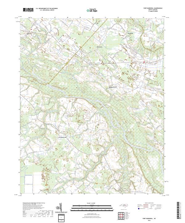
2022 Map of Fort Barnwell
USGS Topo · Published 2022About this map
Fort Barnwell and the surrounding coastal plain of Craven and Pitt Counties are defined by a complex hydraulic landscape where the Neuse River bends through heavy wetlands. This modern survey illustrates the persistent importance of drainage in the region, featuring an extensive network of man-made waterways including the Saint Johns Canal, Shiloh Canal, Martel Canal, and Buckleberry Canal. These structures, alongside natural features like Grinnel Slough and Flat Swamp, dominate the low-lying terrain between the river and Swift Creek. Small residential clusters such as Honolulu, Riverside, and Maplecypress are linked by a web of rural routes like Riverside Rd and Maple Cypress Rd. The map provides a clear look at how contemporary land use and road networks navigate the intricate interface of creeks and canals in eastern North Carolina.
Find a feature on this map
66 named features on this map. Tap any name to fly to it.
Don’t see what you’re looking for? This feature index may not catch every label — zoom into the map to look around manually.
Map Details
Editions of this 2022 Fort Barnwell Map
This is the sole edition of this map. No revisions or reprints were ever made.
Other maps of this area

1901 · New Bern
USGS Topo · 1:62,500

1902 · Ayden
USGS Topo · 1:62,500

1902 · Vanceboro
USGS Topo · 1:62,500

1903 · New Bern
USGS Topo · 1:62,500

1903 · Trent River
USGS Topo · 1:62,500

1904 · Ayden
USGS Topo · 1:62,500

1904 · Trent River
USGS Topo · 1:62,500

1904 · Vanceboro
USGS Topo · 1:62,500

1905 · Vanceboro
USGS Topo · 1:62,500

1953 · Rocky Mount
USGS Topo · 1:250,000