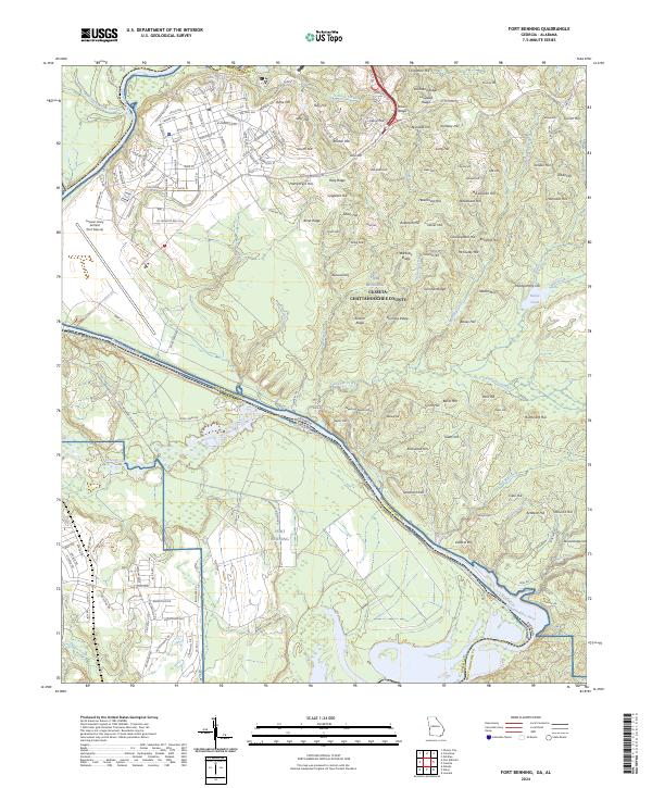
2024 Map of Fort Benning
USGS Topo · Published 2024About this map
Fort Benning defines the landscape of this region along the border of Georgia and Alabama, where military infrastructure meets the winding course of the Chattahoochee River. The northern portion of the map is densely organized with an intricate grid of streets including Marne Rd, Rainbow Ave, and Baltzell Ave, supporting the operations at Lawson Army Airfield (Fort Moore). This built environment quickly transitions into a complex system of ridges and hills that dominate the eastern and southern terrain.
Find a feature on this map
172 named features on this map. Tap any name to fly to it.
Don’t see what you’re looking for? This feature index may not catch every label — zoom into the map to look around manually.
Map Details
Editions of this 2024 Fort Benning Map
This is the sole edition of this map. No revisions or reprints were ever made.
Historical Maps of East Main Post Through Time
9 maps found
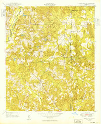
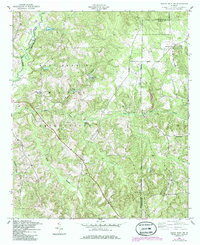
1949 Buena Vista NW
Chattahoochee County, GA
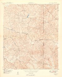
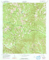
1949 Glen Alta
Chattahoochee County, GA
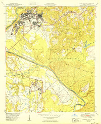
1950 Fort Benning
Chattahoochee County, GA
1955 Buena Vista NW
Chattahoochee County, GA

1955 Fort Benning
Chattahoochee County, GA
1955 Glen Alta
Chattahoochee County, GA
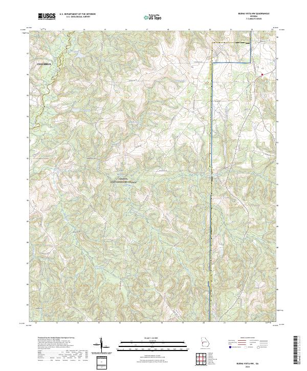
2024 Buena Vista NW
Chattahoochee County, GA
2024 Fort Benning
Chattahoochee County, GA
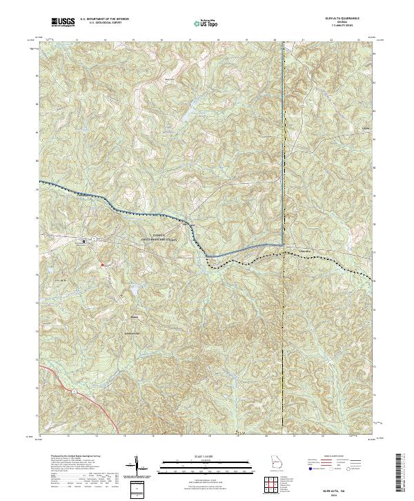
2024 Glen Alta
Chattahoochee County, GA