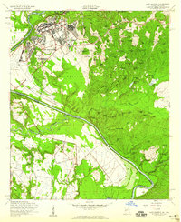
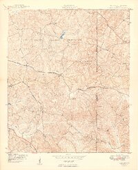
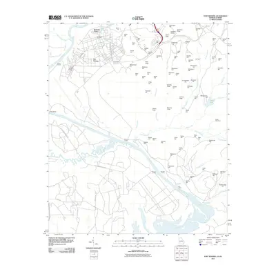
1955 Map of Fort Benning
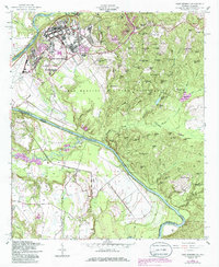
USGS Topo · Published 1986About this map
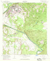
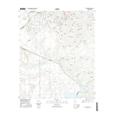
Fort Benning dominates this mid-century landscape along the Georgia-Alabama border, showcasing the extensive military infrastructure of the Fort Benning Military Reservation. The map details the core facilities of the base, including the Control Tower and runways of Lawson Field, alongside local services like the Faith Sch. The terrain is characterized by a dense network of family-named heights such as Smyth Hill, Holliday Hill, and Woodward Hill, which overlook the winding course of the Chattahoochee River.
Find a feature on this map
107 named features on this map. Tap any name to fly to it.
Don’t see what you’re looking for? This feature index may not catch every label — zoom into the map to look around manually.
Map Details
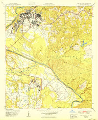
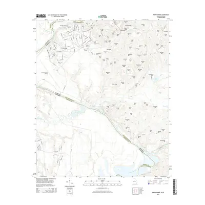
Editions of this 1955 Fort Benning Map
4 editions found
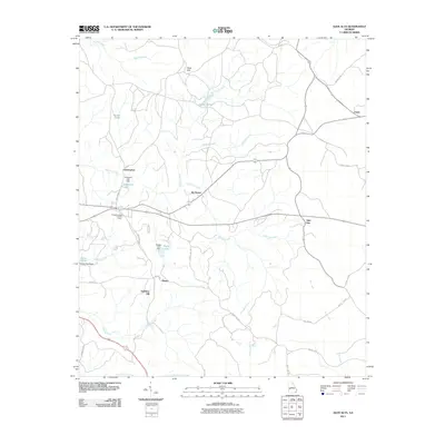
Historical Maps of Columbus Through Time
21 maps found
1949 Buena Vista NW
Chattahoochee County, GA
1949 Glen Alta
Chattahoochee County, GA
1950 Fort Benning
Chattahoochee County, GA
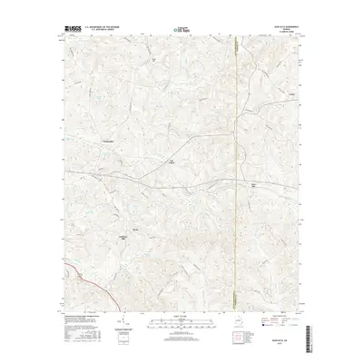
1955 Buena Vista NW
Chattahoochee County, GA

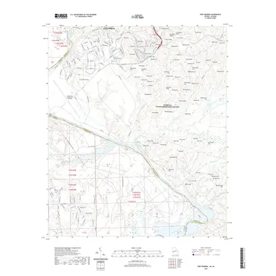
1955 Fort Benning
Chattahoochee County, GA
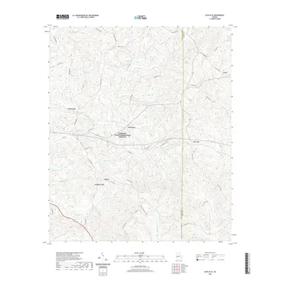
1955 Glen Alta
Chattahoochee County, GA

2011 Buena Vista NW
Chattahoochee County, GA
2011 Fort Benning
Chattahoochee County, GA
2011 Glen Alta
Chattahoochee County, GA

2014 Buena Vista NW
Chattahoochee County, GA
2014 Fort Benning
Chattahoochee County, GA
2014 Glen Alta
Chattahoochee County, GA

2017 Buena Vista NW
Chattahoochee County, GA
2017 Fort Benning
Chattahoochee County, GA
2017 Glen Alta
Chattahoochee County, GA

2020 Buena Vista NW
Chattahoochee County, GA
2020 Fort Benning
Chattahoochee County, GA
2020 Glen Alta
Chattahoochee County, GA
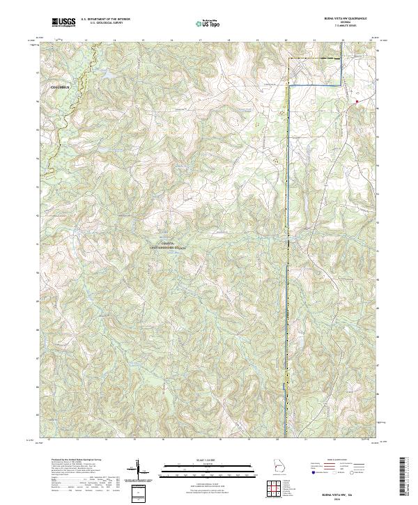
2024 Buena Vista NW
Chattahoochee County, GA
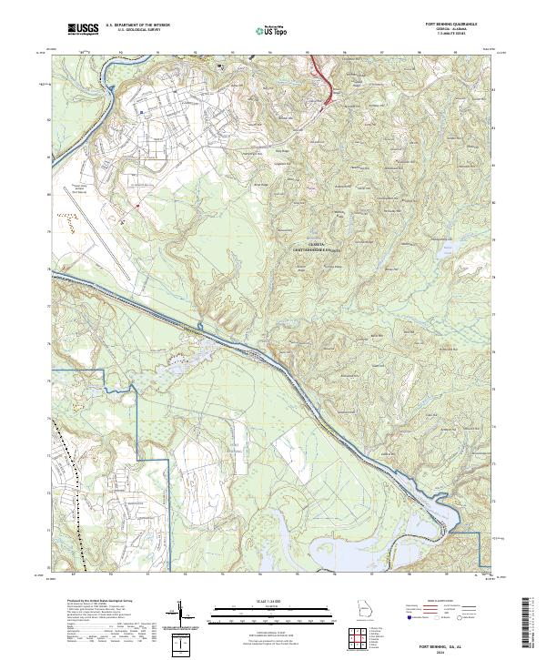
2024 Fort Benning
Chattahoochee County, GA
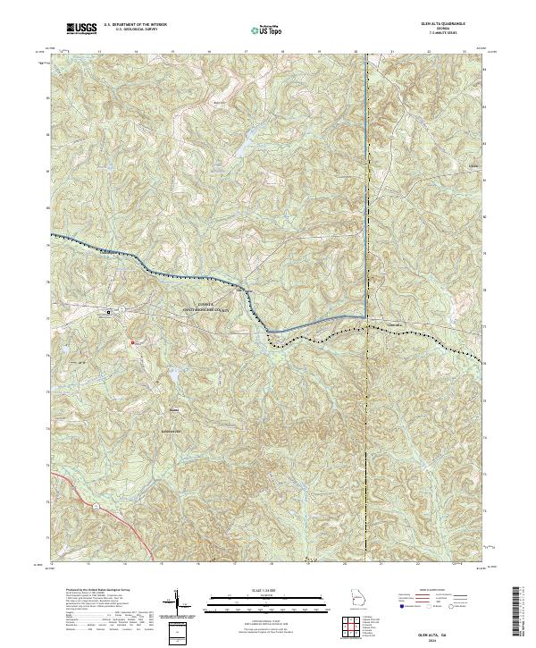
2024 Glen Alta
Chattahoochee County, GA