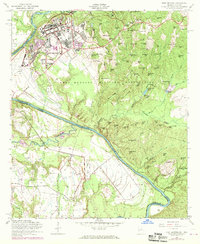
1955 Map of Fort Benning
USGS Topo · Published 1970About this map
Fort Benning Military Reservation dominates this mid-century landscape along the border of Georgia and Alabama. The post's infrastructure is clearly visible, featuring the Armory, Hospital, and the extensive airfield at Lawson Field, complete with its Control Tower. Educational and spiritual life on the base is represented by the Faith Sch. The surrounding terrain is a dense network of ridges and hills named for local figures or descriptive traits, including Riche Hill, Thompson Hill, and Strickland Ridge.
Find a feature on this map
94 named features on this map. Tap any name to fly to it.
Don’t see what you’re looking for? This feature index may not catch every label — zoom into the map to look around manually.
Map Details
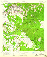
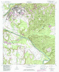
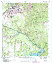
Editions of this 1955 Fort Benning Map
4 editions found
Other maps of this area

1908 · Columbus
USGS Topo · 1:62,500

1914 · Seale
USGS Topo · 1:62,500

1929 · Columbus
USGS Topo · 1:48,000

1947 · Columbus
USGS Topo · 1:62,500

1949 · Fort Mitchell
USGS Topo · 1:24,000

1949 · Julia
USGS Topo · 1:24,000

1949 · Ochillee
USGS Topo · 1:24,000

1949 · Columbus
USGS Topo · 1:24,000

1949 · Cusseta
USGS Topo · 1:24,000

1950 · Fort Benning
USGS Topo · 1:24,000