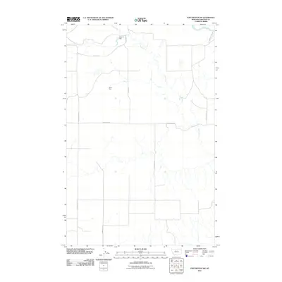
2011 Map of Fort Benton NW
USGS Topo · Published 2011About this map
Marias River bends through the northeast corner of this Chouteau County landscape, anchoring a region defined by expansive drainage systems and livestock-water management. The winding course of Chip Creek dominates the hydrology, supplemented by local infrastructure like Miller Dam and Diogenes Dam. This early 21st-century survey reveals a network of roads often bearing family or descriptive names, such as Emmett Wright Rd and Diamond Lake Rd, reflecting the persistent rural ranching and farming structure of north-central Montana. The terrain is marked by the transition from upland plateaus to the incised breaks near the river, with arterial routes like Pleasant Valley Rd and Lower Marias Rd providing the primary access through this sparsely populated territory.
Find a feature on this map
11 named features on this map. Tap any name to fly to it.
Don’t see what you’re looking for? This feature index may not catch every label — zoom into the map to look around manually.
Map Details
Editions of this 2011 Fort Benton NW Map
This is the sole edition of this map. No revisions or reprints were ever made.
Other maps of this area

1890 · Fort Benton
USGS Topo · 1:250,000

1892 · Fort Benton
USGS Topo · 1:250,000

1897 · Fort Benton
USGS Topo · 1:250,000

1953 · Tunis
USGS Topo · 1:24,000

1953 · O'Hanlon Coulee
USGS Topo · 1:24,000

1953 · Loma West
USGS Topo · 1:24,000

1954 · Great Falls
USGS Topo · 1:250,000

1954 · Fort Benton
USGS Topo · 1:24,000

1954 · Shelby
USGS Topo · 1:250,000

1957 · Great Falls
USGS Topo · 1:250,000