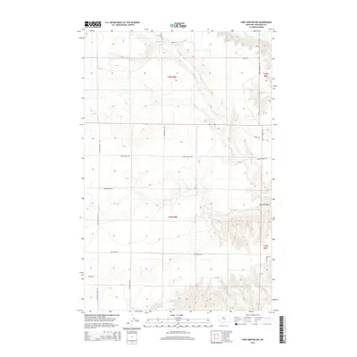
2014 Map of Fort Benton NW
USGS Topo · Published 2014About this map
The Marias River carves a distinctive path through the northeast corner of this high plains landscape in Chouteau County. The terrain is defined by dramatic elevation changes where the plateau drops toward the river valley, most notably at the Dry Fork Coulee. A network of drainage features like Chip Cr cut across the township sections of t26n r8e and t26n r9e, illustrating the complex natural irrigation of the Montana rangeland.
Find a feature on this map
17 named features on this map. Tap any name to fly to it.
Don’t see what you’re looking for? This feature index may not catch every label — zoom into the map to look around manually.
Map Details
Editions of this 2014 Fort Benton NW Map
This is the sole edition of this map. No revisions or reprints were ever made.
Other maps of this area

1890 · Fort Benton
USGS Topo · 1:250,000

1892 · Fort Benton
USGS Topo · 1:250,000

1897 · Fort Benton
USGS Topo · 1:250,000

1953 · Tunis
USGS Topo · 1:24,000

1953 · O'Hanlon Coulee
USGS Topo · 1:24,000

1953 · Loma West
USGS Topo · 1:24,000

1954 · Great Falls
USGS Topo · 1:250,000

1954 · Fort Benton
USGS Topo · 1:24,000

1954 · Shelby
USGS Topo · 1:250,000

1957 · Great Falls
USGS Topo · 1:250,000