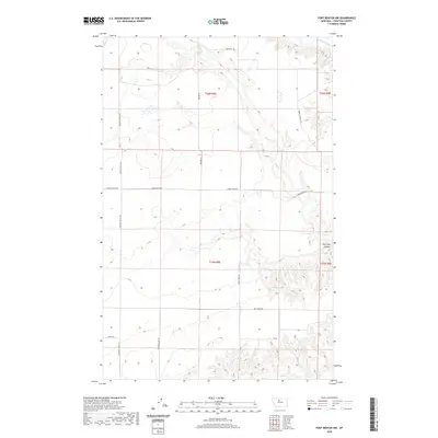
2020 Map of Fort Benton NW
USGS Topo · Published 2020About this map
The Marias River meanders across the northern reaches of this Chouteau County landscape, shaping a terrain defined by dramatic drainage patterns like Dry Fork Coulee. Modern agricultural and ranching access is facilitated by a grid of named local thoroughfares, including Pleasant Valley Rd and Lower Marias Rd, which navigate the high plains above the river valley. The map documents a sparsely populated rural environment where water sources remain critical landmarks, such as the coded 25N08E23DABB01 Spring and Chip Cr. The presence of Vimy Ridge Rd suggests a local connection to early 20th-century history. This survey illustrates the persistent importance of section-line roads like Lebarre Rd and Emmett Wright Rd in managing this expansive Montana territory.
Find a feature on this map
18 named features on this map. Tap any name to fly to it.
Don’t see what you’re looking for? This feature index may not catch every label — zoom into the map to look around manually.
Map Details
Editions of this 2020 Fort Benton NW Map
This is the sole edition of this map. No revisions or reprints were ever made.
Other maps of this area

1890 · Fort Benton
USGS Topo · 1:250,000

1892 · Fort Benton
USGS Topo · 1:250,000

1897 · Fort Benton
USGS Topo · 1:250,000

1953 · Tunis
USGS Topo · 1:24,000

1953 · O'Hanlon Coulee
USGS Topo · 1:24,000

1953 · Loma West
USGS Topo · 1:24,000

1954 · Great Falls
USGS Topo · 1:250,000

1954 · Fort Benton
USGS Topo · 1:24,000

1954 · Shelby
USGS Topo · 1:250,000

1957 · Great Falls
USGS Topo · 1:250,000