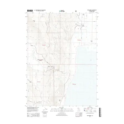
2015 Map of Fort Bidwell
USGS Topo · Published 2015About this map
Fort Bidwell serves as the focal point of this high-desert landscape where the Warner Mountains meet the northwestern edge of Surprise Valley. The geography is defined by significant elevation changes, ranging from the flat expanses of Upper Lake to the towering heights of Fandango Peak within the Modoc National Forest. This 2015 record shows the town’s traditional grid, including Main St and W Bridge St, alongside vital local infrastructure like the Fort Bidwell Airport.
Find a feature on this map
34 named features on this map. Tap any name to fly to it.
Don’t see what you’re looking for? This feature index may not catch every label — zoom into the map to look around manually.
Map Details
Editions of this 2015 Fort Bidwell Map
This is the sole edition of this map. No revisions or reprints were ever made.
Other maps of this area

1886 · Alturas
USGS Topo · 1:250,000

1892 · Alturas
USGS Topo · 1:250,000

1954 · Alturas
USGS Topo · 1:250,000

1958 · Alturas
USGS Topo · 1:250,000

1962 · Alturas
USGS Topo · 1:250,000

1962 · Davis Creek
USGS Topo · 1:62,500

1962 · Willow Ranch
USGS Topo · 1:62,500

1962 · Cedarville
USGS Topo · 1:62,500

1962 · Fort Bidwell
USGS Topo · 1:62,500

1965 · Alturas
USGS Topo · 1:250,000