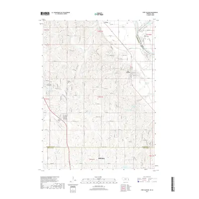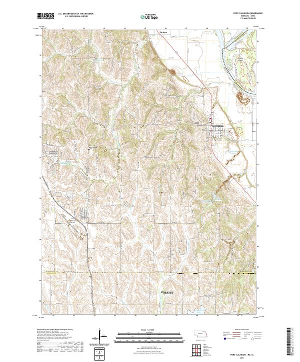
2021 Map of Fort Calhoun
USGS Topo · Published 2021About this map
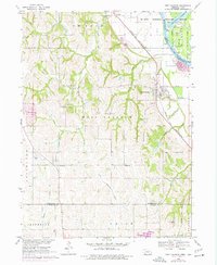
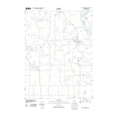
Fort Calhoun and the historic riverfront of the Missouri River define the eastern edge of this landscape at the border of Nebraska and Iowa. The terrain is deeply carved by watercourses like Little Papillion Cr and Long Cr, which flow through the dissected uplands toward the river valley. In the northern portion, the settlement of De Soto sits near the headwaters of Mill Cr, while the central section is marked by a network of rural routes such as Co Rd 34 and Co Rd 41 that connect dispersed homesites.
Find a feature on this map
135 named features on this map. Tap any name to fly to it.
Don’t see what you’re looking for? This feature index may not catch every label — zoom into the map to look around manually.
Map Details
Editions of this 2021 Fort Calhoun Map
This is the sole edition of this map. No revisions or reprints were ever made.
Historical Maps of Omaha Through Time
6 maps found