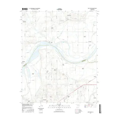
2016 Map of Fort Coffee
USGS Topo · Published 2016About this map
Skullyville and Fort Coffee anchor this riverbank landscape along the southern bend of the Arkansas River at the boundary of Sequoyah and Le Flore counties. The area is characterized by expansive floodplains such as Fort Coffee Bottom and Redland Bottom, which are crisscrossed by a network of drainage features including Big Skin Bayou and Deadman Slough. These alluvial flats emphasize the historical reliance on the river for transport and agriculture in this corner of Oklahoma.
Find a feature on this map
102 named features on this map. Tap any name to fly to it.
Don’t see what you’re looking for? This feature index may not catch every label — zoom into the map to look around manually.
Map Details
Editions of this 2016 Fort Coffee Map
This is the sole edition of this map. No revisions or reprints were ever made.
Other maps of this area

1879 · Fort Smith
USGS Topo · 1:62,500

1887 · Van Buren
USGS Topo · 1:62,500

1887 · Greenwood
USGS Topo · 1:62,500

1890 · Fort Smith
USGS Topo · 1:125,000

1900 · Sallisaw
USGS Topo · 1:125,000

1911 · Sallisaw
USGS Topo · 1:125,000

1943 · Fort Smith
USGS Topo · 1:125,000

1946 · Fort Smith
USGS Topo · 1:250,000

1947 · Van Buren
USGS Topo · 1:62,500

1947 · Greenwood
USGS Topo · 1:62,500