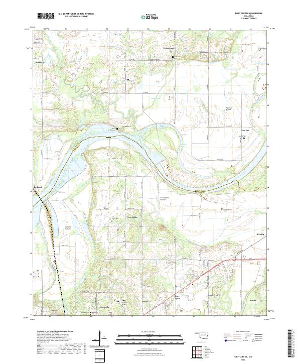
2022 Map of Fort Coffee
USGS Topo · Published 2022About this map
The Arkansas River dictates the landscape of this region, carving a wide path that separates SequoyAH Co and Le Flore Co. Extensive floodplains, such as Fort Coffee Bottom, Braden Bottom, and Paw Paw Bottom, reveal the agricultural character of the river valley. The historic community of Skullyville sits in the southern portion of the map near the Poteau River, an area with deep roots as a former Choctaw Nation capital and trade hub.
Find a feature on this map
108 named features on this map. Tap any name to fly to it.
Don’t see what you’re looking for? This feature index may not catch every label — zoom into the map to look around manually.
Map Details
Editions of this 2022 Fort Coffee Map
This is the sole edition of this map. No revisions or reprints were ever made.
Other maps of this area

1879 · Fort Smith
USGS Topo · 1:62,500

1887 · Van Buren
USGS Topo · 1:62,500

1887 · Greenwood
USGS Topo · 1:62,500

1890 · Fort Smith
USGS Topo · 1:125,000

1900 · Sallisaw
USGS Topo · 1:125,000

1911 · Sallisaw
USGS Topo · 1:125,000

1943 · Fort Smith
USGS Topo · 1:125,000

1946 · Fort Smith
USGS Topo · 1:250,000

1947 · Van Buren
USGS Topo · 1:62,500

1947 · Greenwood
USGS Topo · 1:62,500