
Loading...
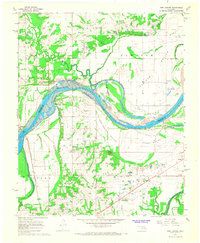
Loading map...1967 Map of Fort Coffee
USGS Topo · Published 1979About this map
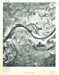
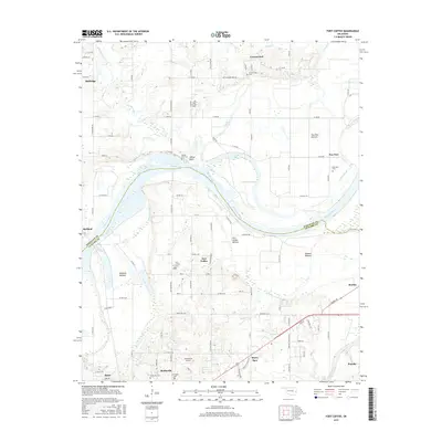
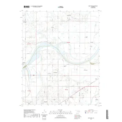
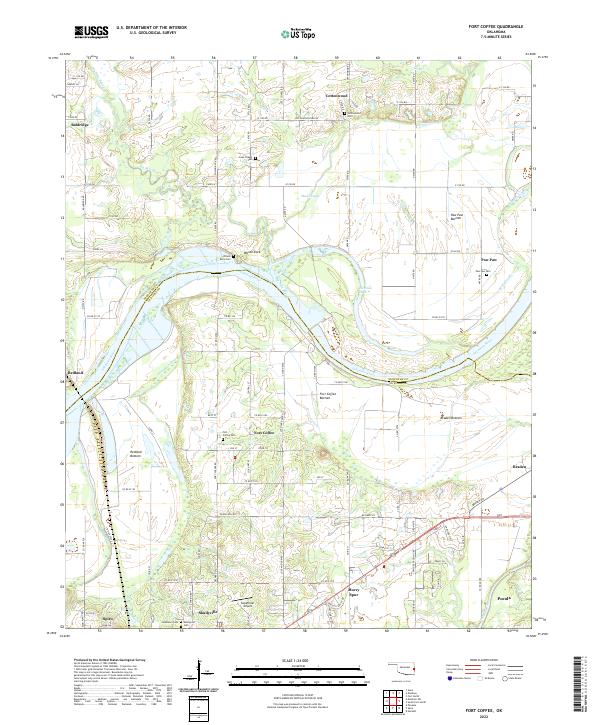
Skullyville and Fort Coffee occupy a landscape defined by the winding Arkansas River and its expansive bottomlands. The map reveals a rich layer of local heritage, from the prehistoric Spiro Mound (Site) to the Site of Old Fort Coffee overlooking the river bends. Settlement patterns follow the fertile alluvial plains of Braden Bottom and Paw Paw Bottom, where small communities like Baldridge and Redland are connected by rural roads and the Kansas City Southern railroad line.
Find a feature on this map
49 named features on this map. Tap any name to fly to it.
Don’t see what you’re looking for? This feature index may not catch every label — zoom into the map to look around manually.
Map Details
Date Portrayed1967
Date Published1979
PublisherU.S. Geological Survey
Map TypeTopographic
Scale1:24,000
Physical Dimensions22.5 x 27.5 inches
Editions of this 1967 Fort Coffee Map
2 editions found
Historical Maps of Pocola Through Time
7 maps found
Featured Locations
Source Details
SourceU.S. Geological Survey
CopyrightPublic Domain