
1906 Map of Fort Collins
USGS Topo · Published 1955About this map
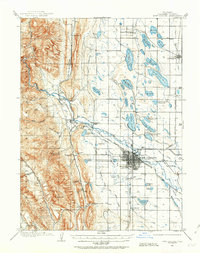
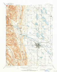
Fort Collins emerges as a growing agricultural and educational hub in this early twentieth-century survey, centered around the Colorado State Agricultural College. The landscape is defined by an intricate network of irrigation, featuring the Larimer and Weld Ditch, Terry Lake Canal, and numerous numbered reservoirs such as Reservoir No 6 and Douglas Lake (Res No 10), which transformed the high plains for farming. To the west, the topography rises sharply into the foothills of the Medicine Bow National Forest, where the Cache La Poudre River cuts through the terrain near Bellvue. The Colorado and Southern R R provides the primary industrial artery, with branches reaching out to Wellington and the quarrying settlement at Stout. Local industry is further evidenced by the Empire Mine tucked into the foothills and the prominent Standpipe near the river, reflecting the region's developing infrastructure for both water management and extraction.
Find a feature on this map
72 named features on this map. Tap any name to fly to it.
Don’t see what you’re looking for? This feature index may not catch every label — zoom into the map to look around manually.
Map Details
Editions of this 1906 Fort Collins Map
4 editions found
Other maps of this area

1902 · Greeley
USGS Topo · 1:125,000

1905 · Mount Olympus
USGS Topo · 1:62,500

1906 · Loveland
USGS Topo · 1:62,500

1907 · Mount Olympus
USGS Topo · 1:62,500

1907 · Livermore
USGS Topo · 1:125,000

1908 · Loveland
USGS Topo · 1:62,500

1908 · Fort Collins
USGS Topo · 1:62,500

1908 · Eaton
USGS Topo · 1:125,000

1909 · Livermore
USGS Topo · 1:125,000

1910 · Eaton
USGS Topo · 1:125,000