
1908 Map of Fort Collins
USGS Topo · Published 1908About this map
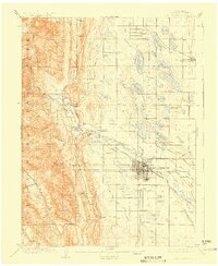
The Fort Collins landscape at the turn of the century is defined by an intricate network of irrigation ditches and reservoirs, essential to the agricultural expansion of Larimer County. The city itself is the hub for the Colorado State Agricultural College and is bisected by the Colorado and Southern RR, which connects smaller satellite settlements like Wellington and Stout. West of the city, the terrain transitions sharply into the foothills, where landmarks such as Horsetooth and the Empire Mine overlook the Cache La Poudre River. The map meticulously details early water engineering projects, including the Larimer and Weld Ditch and the Greeley Pipe Line Reservoir, which supported the region's burgeoning sugar beet and ranching economies. From the stone quarries near Stout to the homesteads around Laporte, this survey captures the infrastructure of a frontier community maturing into a regional center.
Find a feature on this map
72 named features on this map. Tap any name to fly to it.
Don’t see what you’re looking for? This feature index may not catch every label — zoom into the map to look around manually.
Map Details
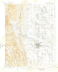
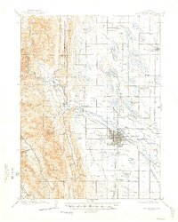
Editions of this 1908 Fort Collins Map
4 editions found
Other maps of this area

1902 · Greeley
USGS Topo · 1:125,000

1905 · Mount Olympus
USGS Topo · 1:62,500

1906 · Loveland
USGS Topo · 1:62,500

1906 · Fort Collins
USGS Topo · 1:62,500

1907 · Mount Olympus
USGS Topo · 1:62,500

1907 · Livermore
USGS Topo · 1:125,000

1908 · Loveland
USGS Topo · 1:62,500

1908 · Eaton
USGS Topo · 1:125,000

1909 · Livermore
USGS Topo · 1:125,000

1910 · Eaton
USGS Topo · 1:125,000