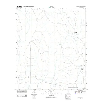
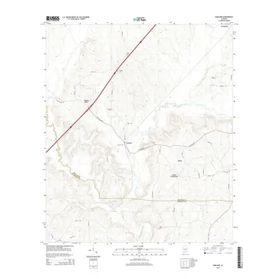
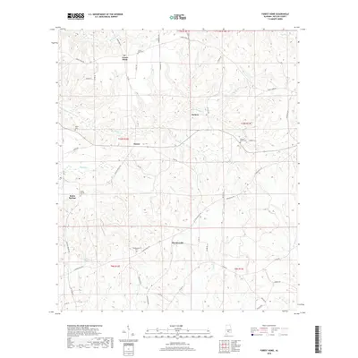
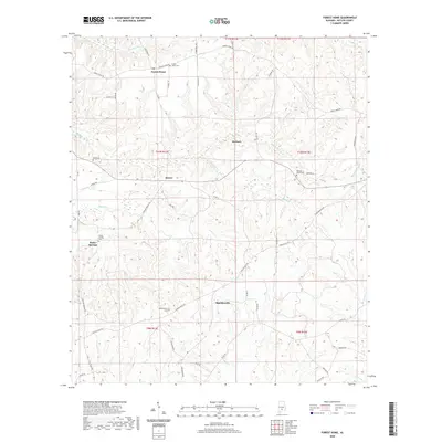
1971 Map of Fort Dale
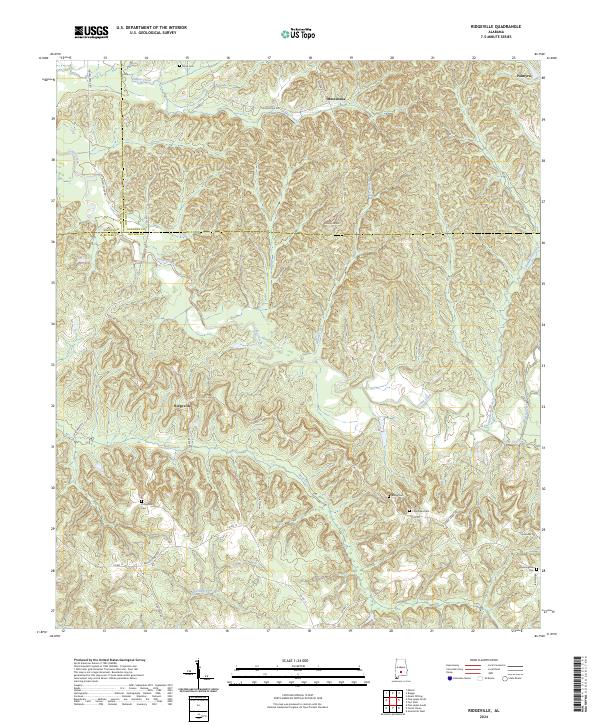
USGS Topo · Published 1991About this map
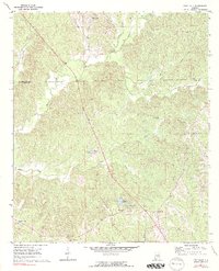
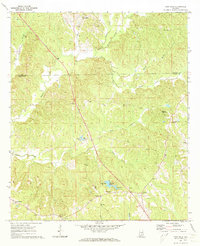
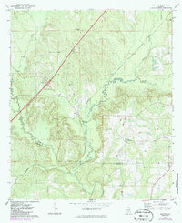
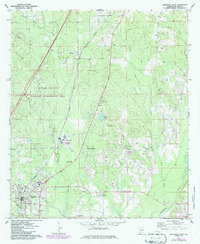
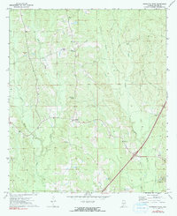
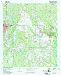
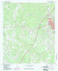
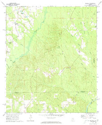
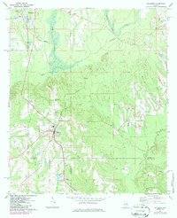
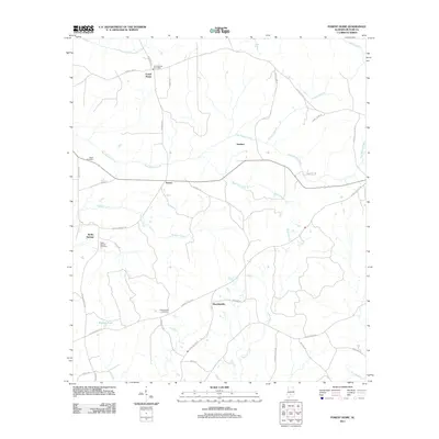
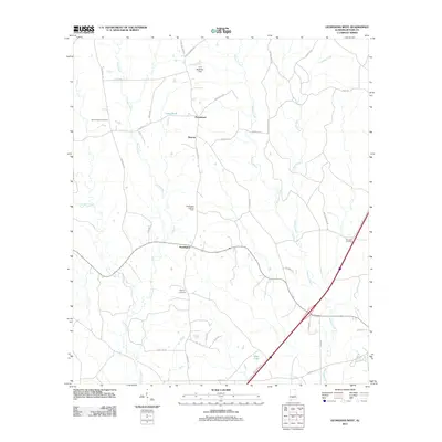
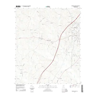
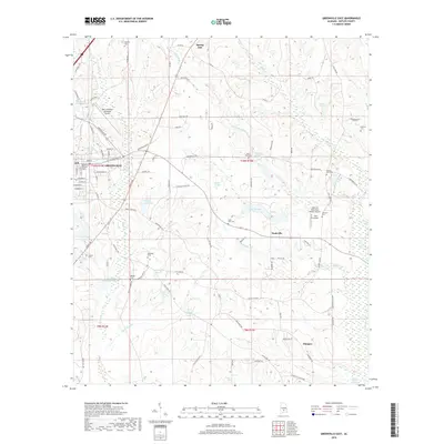
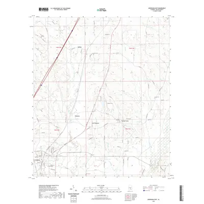
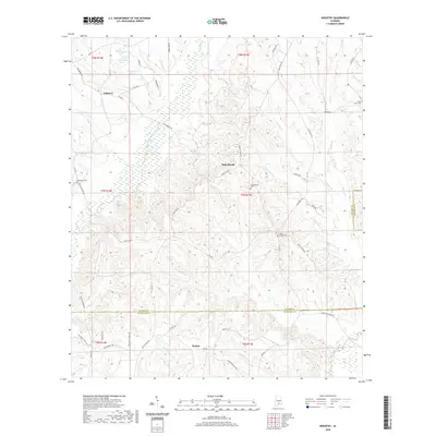
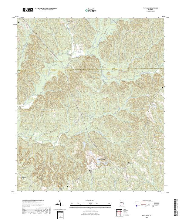
Fort Dale and the surrounding Butler County hills are captured here in the early 1970s, showcasing a landscape defined by its creek valleys and rural congregations. The settlement of Clover Hill sits near the northern boundary with Lowndes County, while further south, the map details a network of community landmarks such as Antioch Ch, Damascus Ch, and Shiloh Ch. The topography is heavily dissected by Mussel Creek and its many tributaries, including South Fork Mussel Creek and Cedar Creek, creating a varied terrain of ridges and bottoms.
Find a feature on this map
28 named features on this map. Tap any name to fly to it.
Don’t see what you’re looking for? This feature index may not catch every label — zoom into the map to look around manually.
Map Details
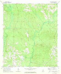
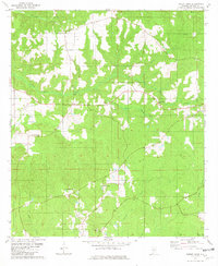
Editions of this 1971 Fort Dale Map
2 editions found
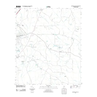
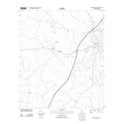
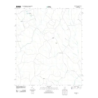
Historical Maps of Greenville Through Time
61 maps found
1971 Fort Dale
Butler County, AL
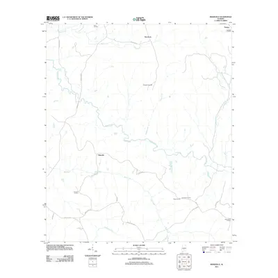
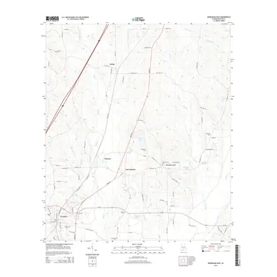
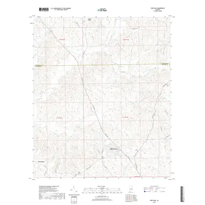
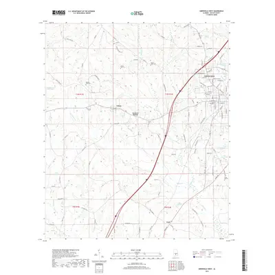
1971 Garland
Butler County, AL
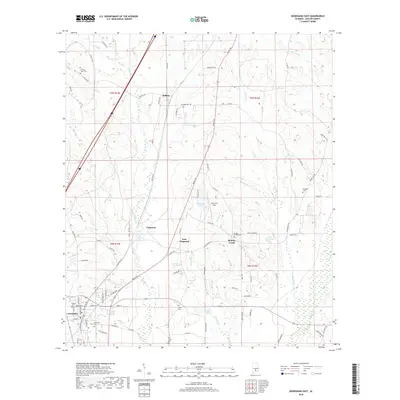
1971 Georgiana East
Butler County, AL
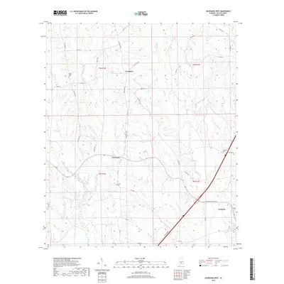
1971 Georgiana West
Butler County, AL
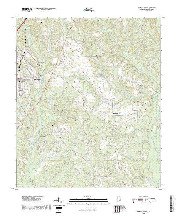
1971 Greenville East
Butler County, AL
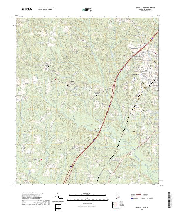
1971 Greenville West
Butler County, AL
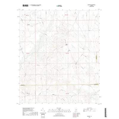
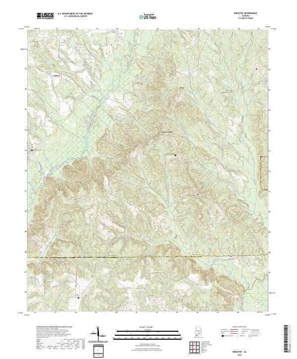
1971 Industry
Butler County, AL
1971 Mc Kenzie
Butler County, AL
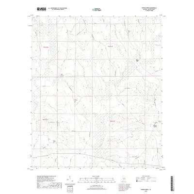
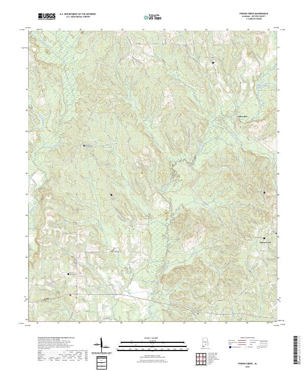
1971 Pigeon Creek
Butler County, AL
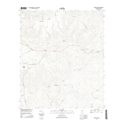
1981 Forest Home
Butler County, AL
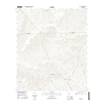
1981 Ridgeville
Butler County, AL
2011 Forest Home
Butler County, AL
2011 Fort Dale
Butler County, AL
2011 Garland
Butler County, AL
2011 Georgiana East
Butler County, AL
2011 Georgiana West
Butler County, AL
2011 Greenville East
Butler County, AL
2011 Greenville West
Butler County, AL
2011 Industry
Butler County, AL
2011 Pigeon Creek
Butler County, AL
2011 Ridgeville
Butler County, AL
2014 Forest Home
Butler County, AL
2014 Fort Dale
Butler County, AL
2014 Garland
Butler County, AL
2014 Georgiana East
Butler County, AL
2014 Georgiana West
Butler County, AL
2014 Greenville East
Butler County, AL
2014 Greenville West
Butler County, AL
2014 Industry
Butler County, AL
2014 Pigeon Creek
Butler County, AL
2014 Ridgeville
Butler County, AL
2018 Forest Home
Butler County, AL
2018 Fort Dale
Butler County, AL

2018 Garland
Butler County, AL
2018 Georgiana East
Butler County, AL
2018 Georgiana West
Butler County, AL
2018 Greenville East
Butler County, AL
2018 Greenville West
Butler County, AL
2018 Industry
Butler County, AL
2018 Pigeon Creek
Butler County, AL
2018 Ridgeville
Butler County, AL
2020 Forest Home
Butler County, AL
2020 Fort Dale
Butler County, AL
2020 Garland
Butler County, AL
2020 Georgiana East
Butler County, AL
2020 Georgiana West
Butler County, AL
2020 Greenville East
Butler County, AL
2020 Greenville West
Butler County, AL
2020 Industry
Butler County, AL
2020 Pigeon Creek
Butler County, AL
2020 Ridgeville
Butler County, AL
2024 Forest Home
Butler County, AL
2024 Fort Dale
Butler County, AL
2024 Garland
Butler County, AL
2024 Georgiana East
Butler County, AL
2024 Georgiana West
Butler County, AL
2024 Greenville East
Butler County, AL
2024 Greenville West
Butler County, AL
2024 Industry
Butler County, AL
2024 Pigeon Creek
Butler County, AL
2024 Ridgeville
Butler County, AL