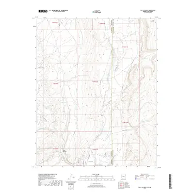
1982 Map of Fort Defiance
USGS Topo · Published 1983About this map
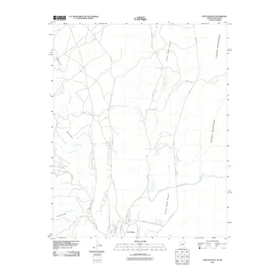
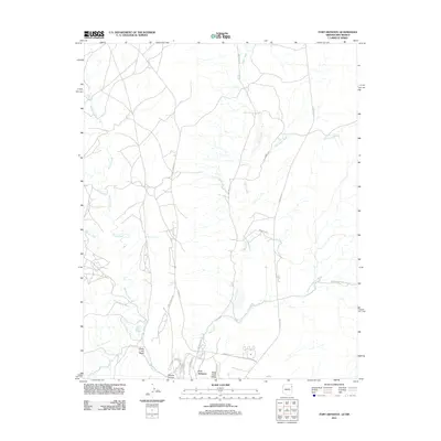
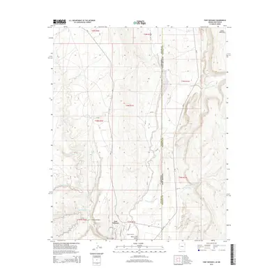
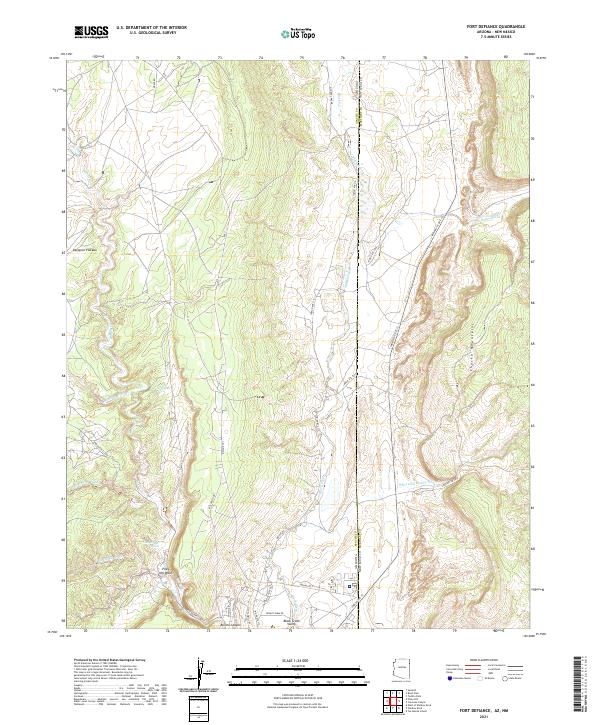
Fort Defiance serves as the focal point of this 1982 survey, situated within the expansive Navajo Indian Reservation along the border of Arizona and New Mexico. The landscape is defined by the transition from the high elevations of the Chuska Mountains down into the Black Creek Valley. This topographic record illustrates a complex drainage network where seasonal waterways like Black Creek, Bonito Creek, and Twin Buttes Wash carve through the plateau. A notable industrial feature is the Borrow Pit located west of the valley floor, while infrastructure such as a Radio Tower and the recently established New Rd indicate the area's development. Local water sources, including Clay Spring, remain vital landmarks in this arid environment, highlighting the essential relationship between geography and settlement in the American Southwest during the late twentieth century.
Find a feature on this map
21 named features on this map. Tap any name to fly to it.
Don’t see what you’re looking for? This feature index may not catch every label — zoom into the map to look around manually.
Map Details
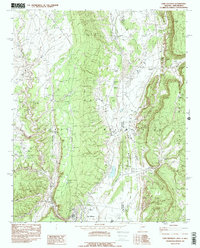
Editions of this 1982 Fort Defiance Map
2 editions found
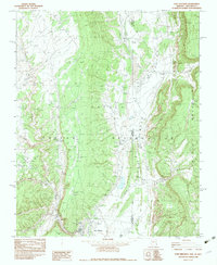
Historical Maps of Fort Defiance Agency Through Time
8 maps found