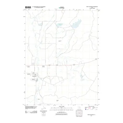
2011 Map of Fort Duchesne
USGS Topo · Published 2011About this map
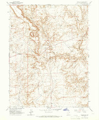
The Uinta River and its accompanying irrigation infrastructure define this corner of Uintah County, where the settlement of Fort Duchesne and the site of Old Fort Duchesne anchor the local geography. The landscape is marked by a complex network of man-made waterways like the Moffat Canal and Ouray Park Canal, reflecting the area's deep reliance on managed water for agriculture and ranching. To the north, the Bullock-Draw Reservoir and Bullock Draw dominate the terrain, while the community of Gusher sits along the primary highway route. Cultural and recreation sites are prominent, including the Uintah and Ouray Indian Cemetery and Bottle-Hollow Resort, illustrating the intersection of tribal heritage and modern development near Bottle Hollow. Researchers will find a detailed layout of local ranch roads, such as Fausett Ranch Rd, providing insight into the rural settlement patterns of the early 21st century.
Find a feature on this map
24 named features on this map. Tap any name to fly to it.
Don’t see what you’re looking for? This feature index may not catch every label — zoom into the map to look around manually.
Map Details
Editions of this 2011 Fort Duchesne Map
This is the sole edition of this map. No revisions or reprints were ever made.
Other maps of this area

1885 · Ashley
USGS Topo · 1:250,000

1917 · Vernal
USGS Topo · 1:125,000

1954 · Vernal
USGS Topo · 1:250,000

1958 · Vernal
USGS Topo · 1:250,000

1960 · Vernal
USGS Topo · 1:250,000
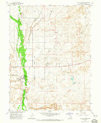
1964 · Fort Duchesne
USGS Topo · 1:24,000

1964 · Lapoint
USGS Topo · 1:24,000
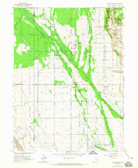
1964 · Whiterocks
USGS Topo · 1:24,000
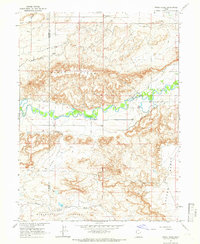
1964 · Windy Ridge
USGS Topo · 1:24,000
1964 · Vernal SW
USGS Topo · 1:24,000